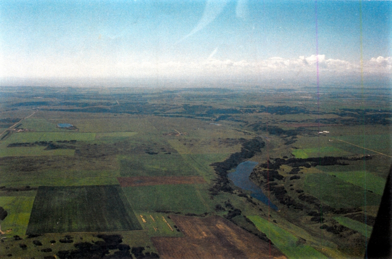
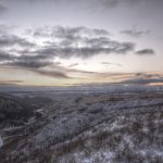
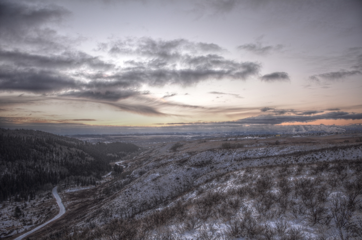
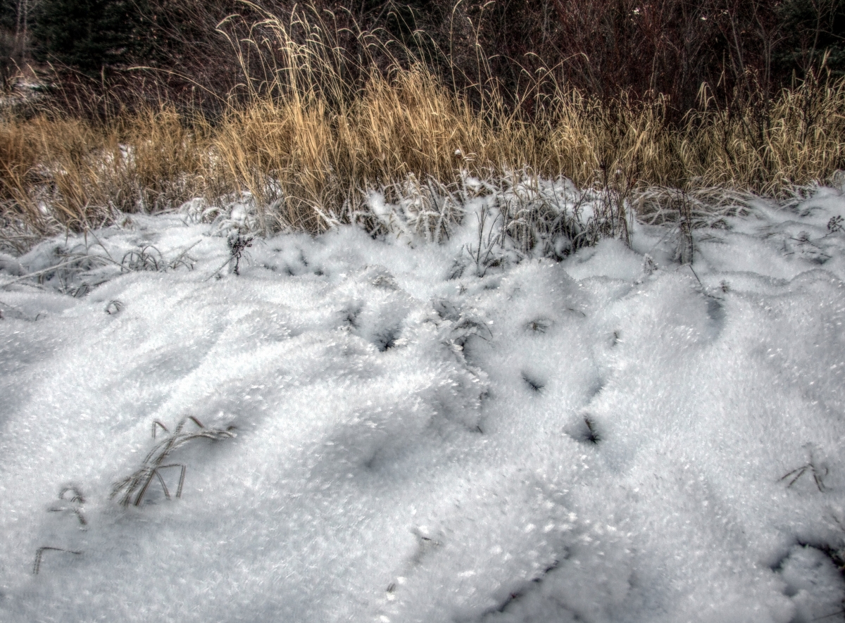
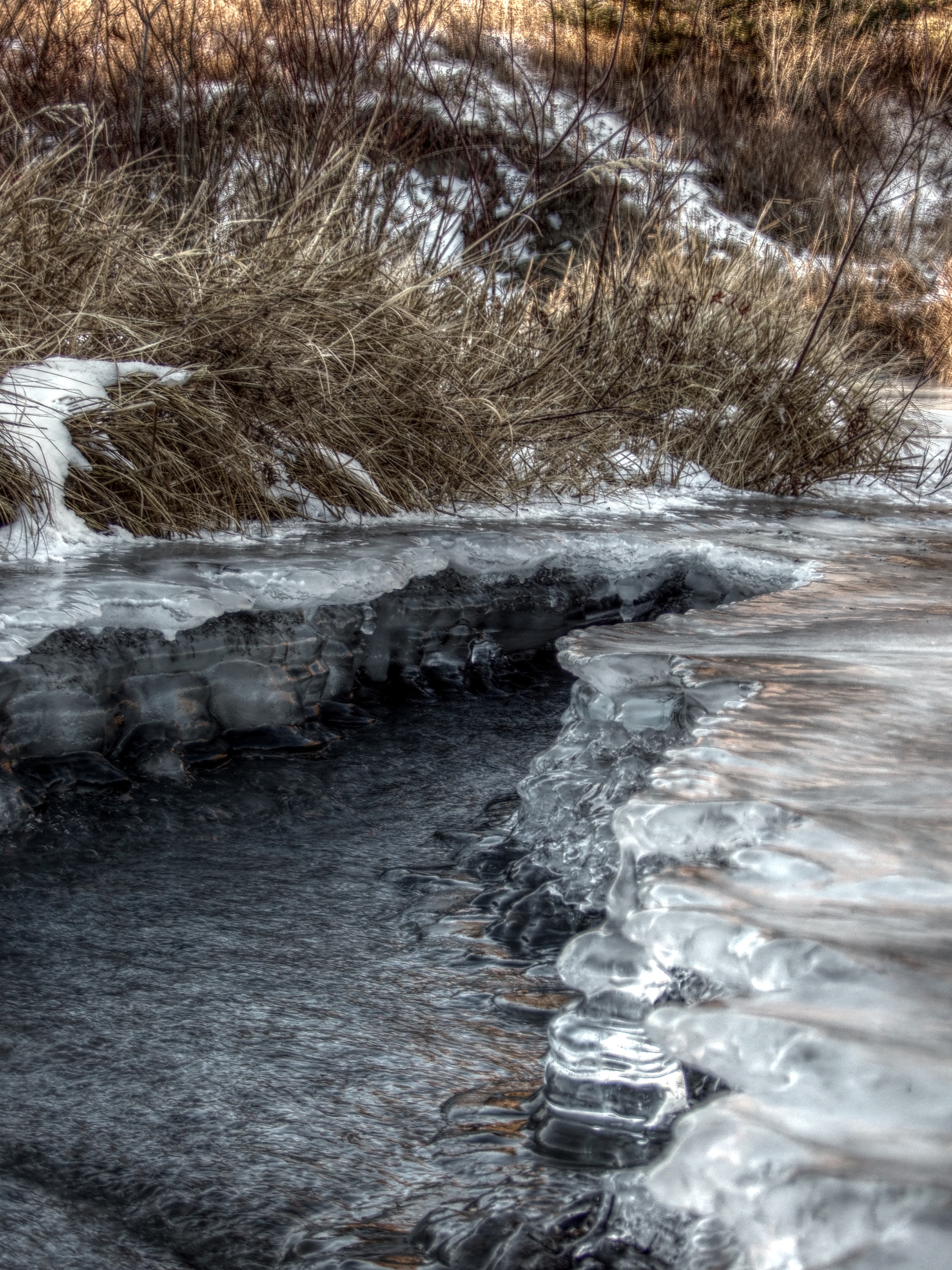
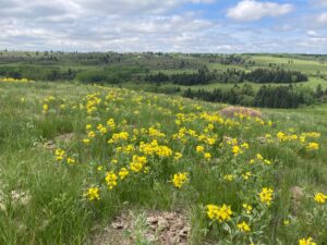
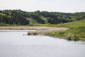
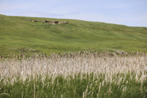
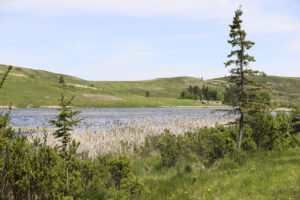
Bighill Creek Vistas
-
- Historic photo of Bighill Coulee – Vivian Pharis 1990
-
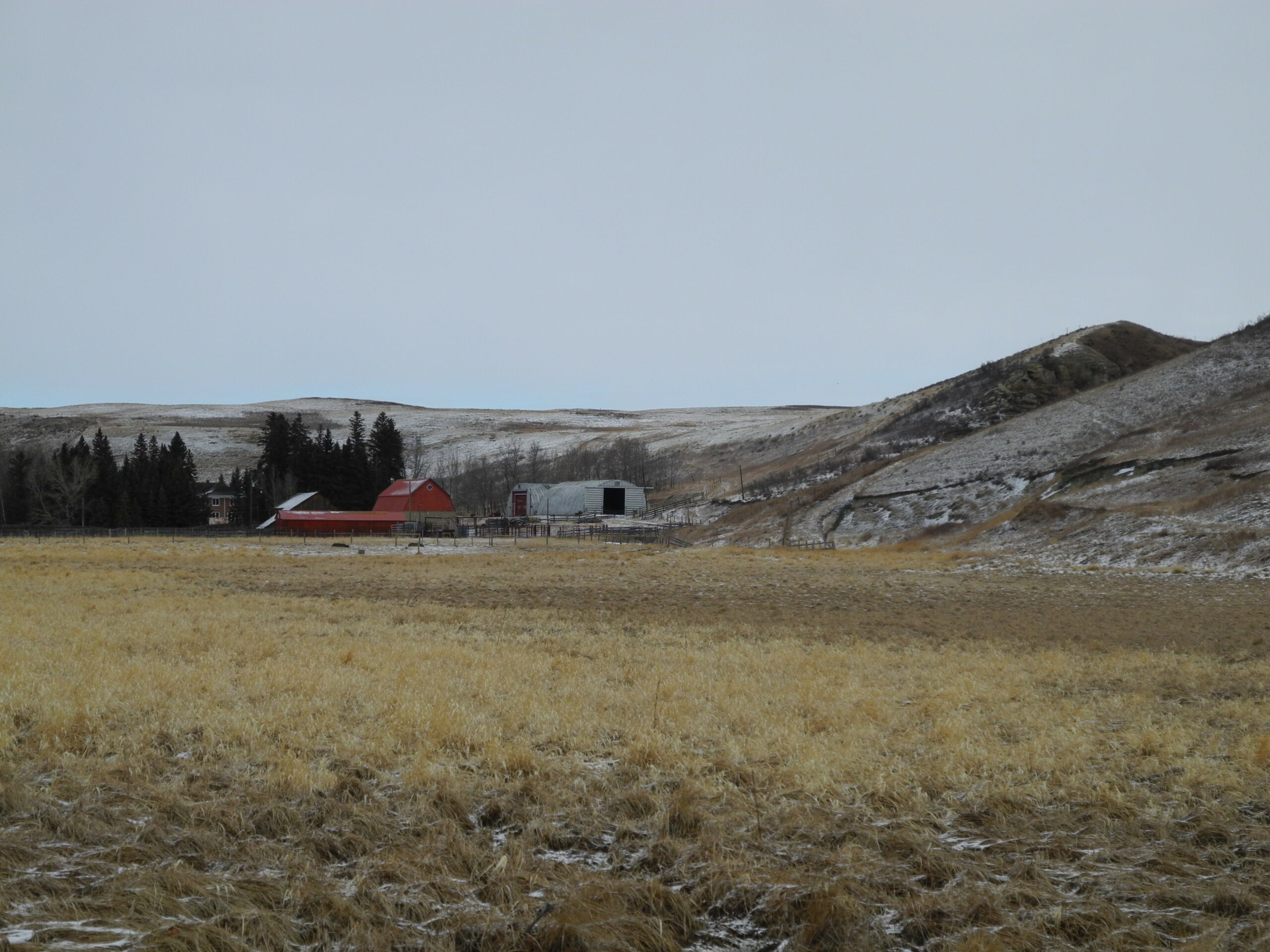
- Parker Ranch above main spring- Tobi McLeod
-
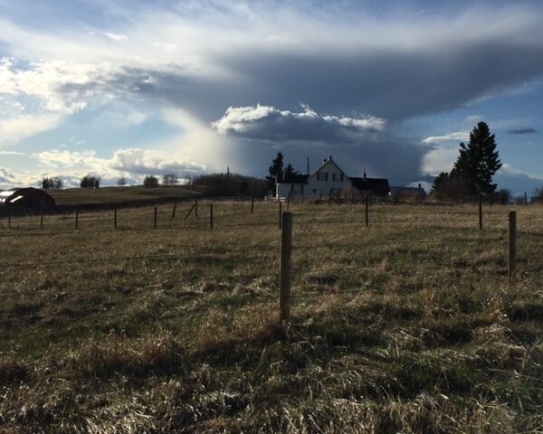
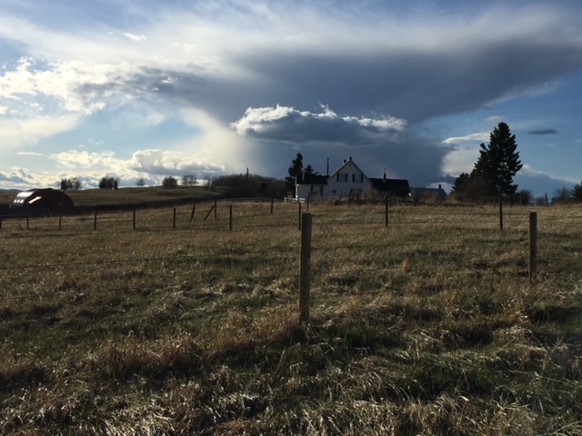
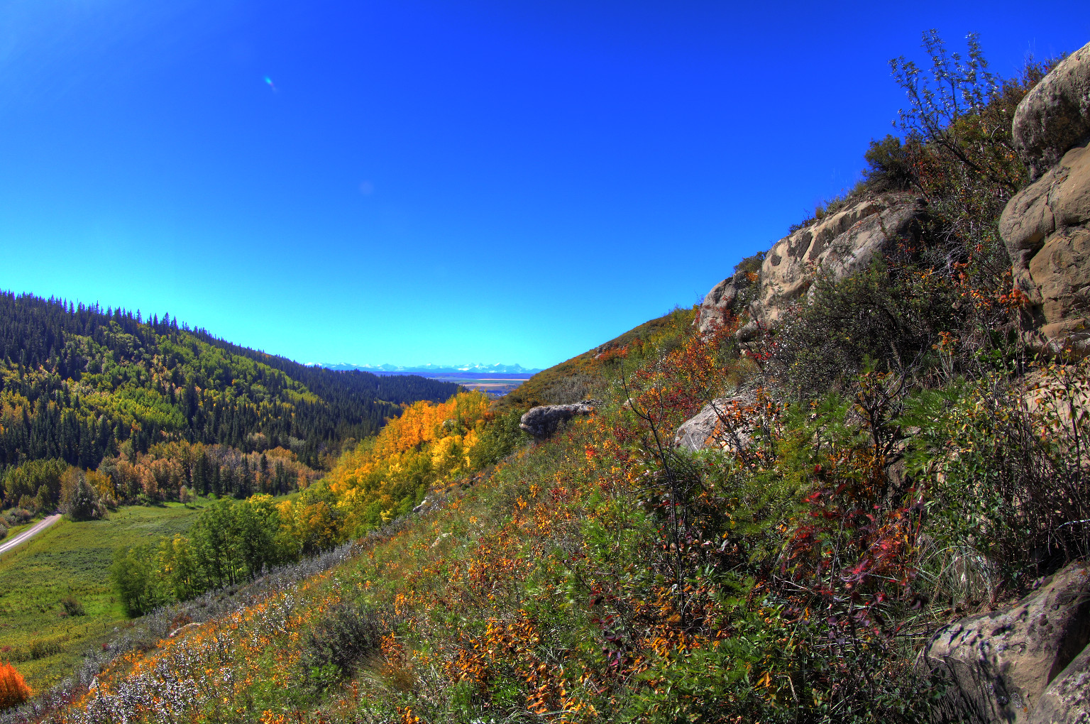
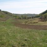
- From the Provincial Park looking downstream – Gerry Bietz
-
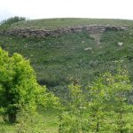
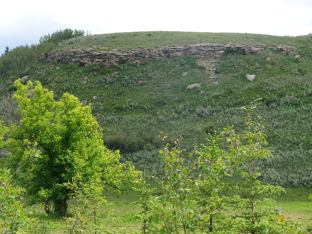
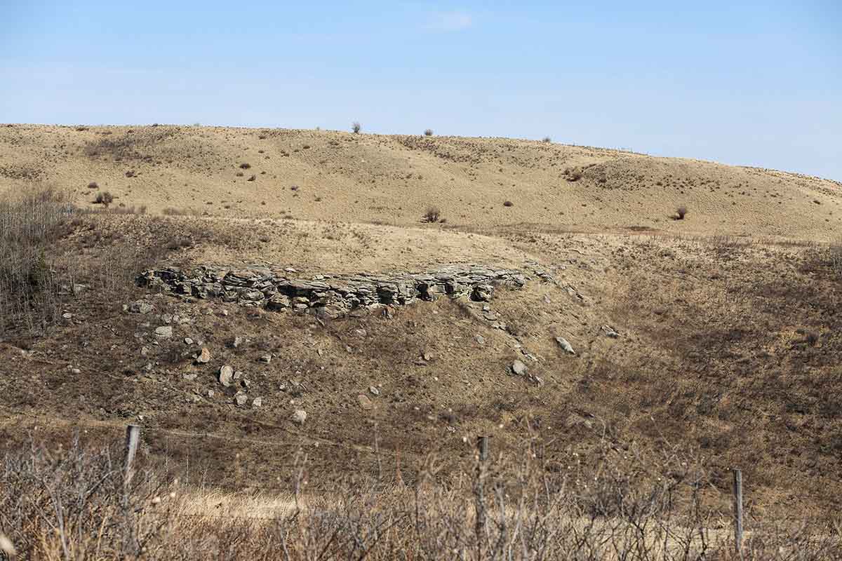
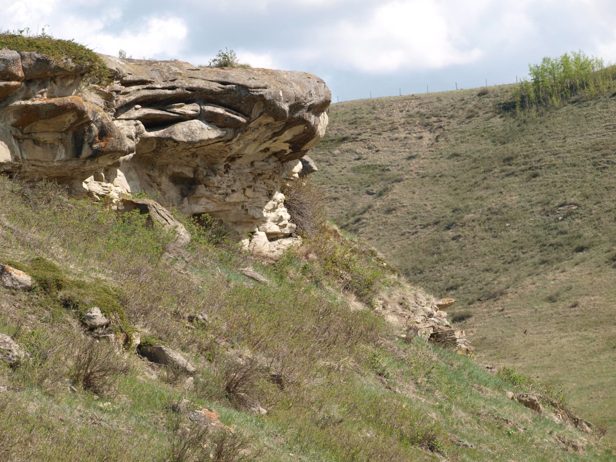
- Buffalo Jump Site East of Provincial Park – Vivian Pharis
-
- Main Bighill Creek Spring – Tobi McLeod
-
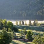
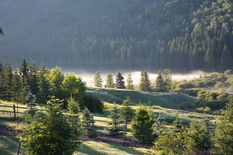
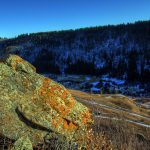
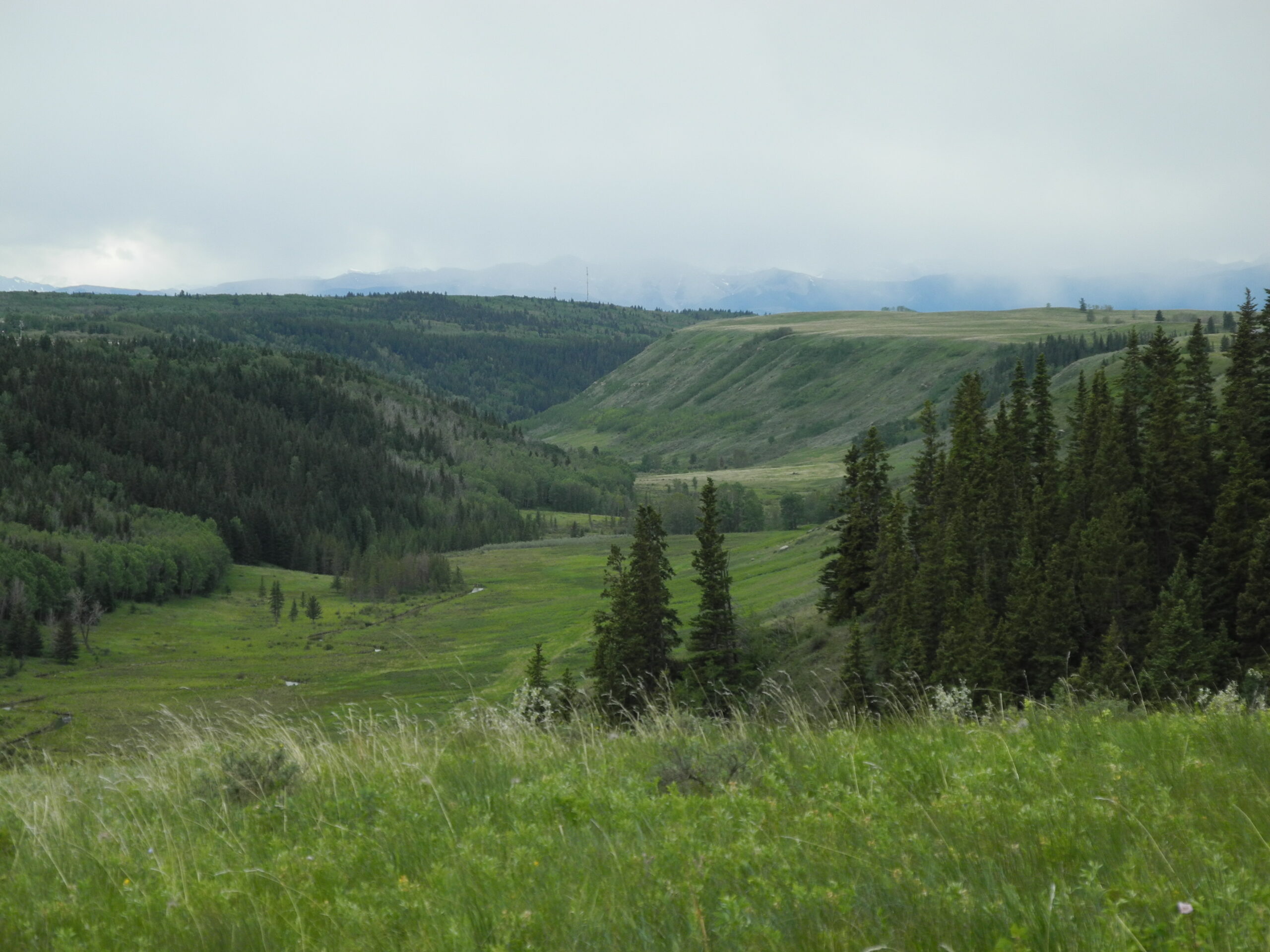
- Morning fog over the ravine
-
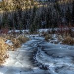
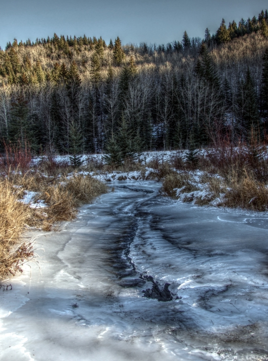
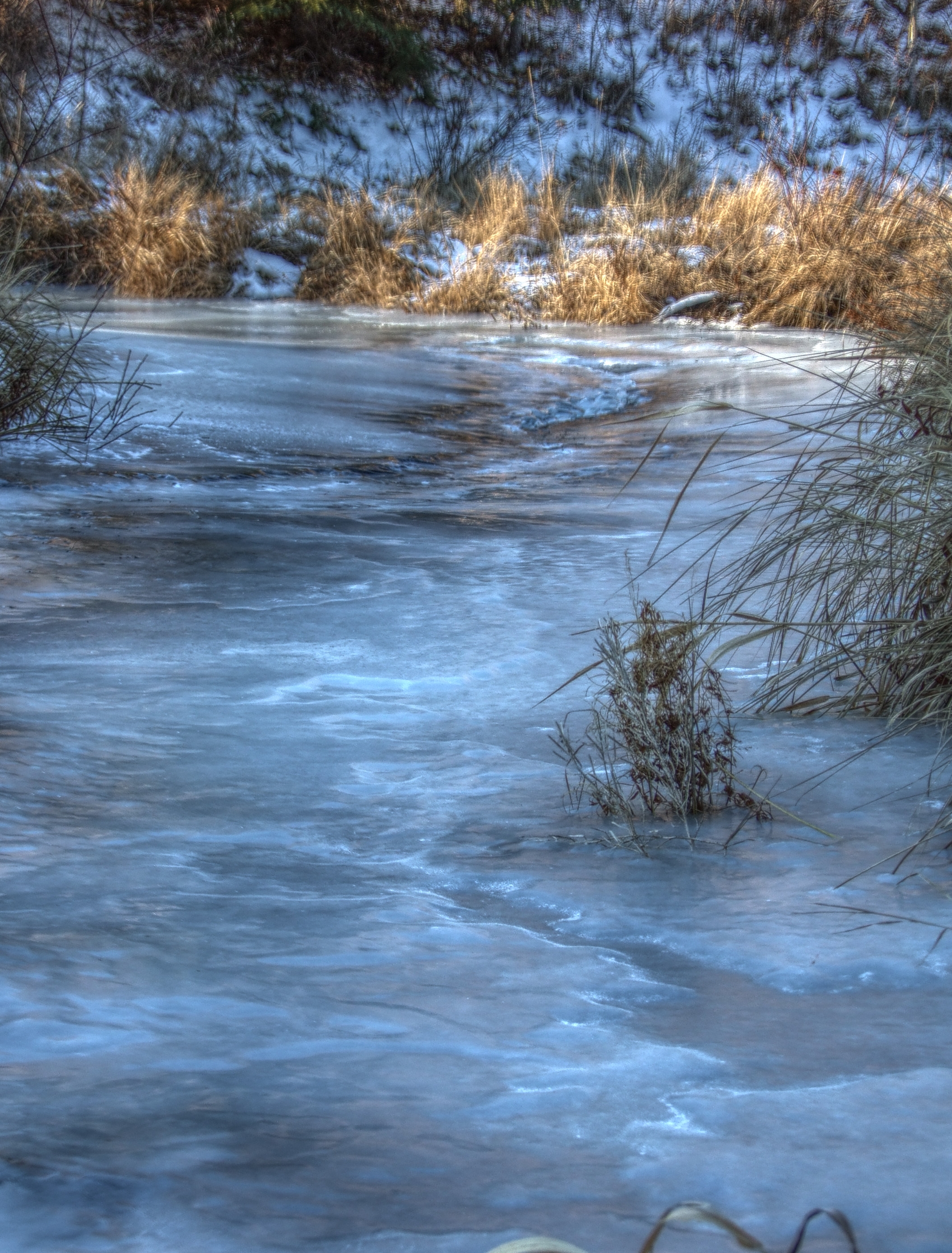
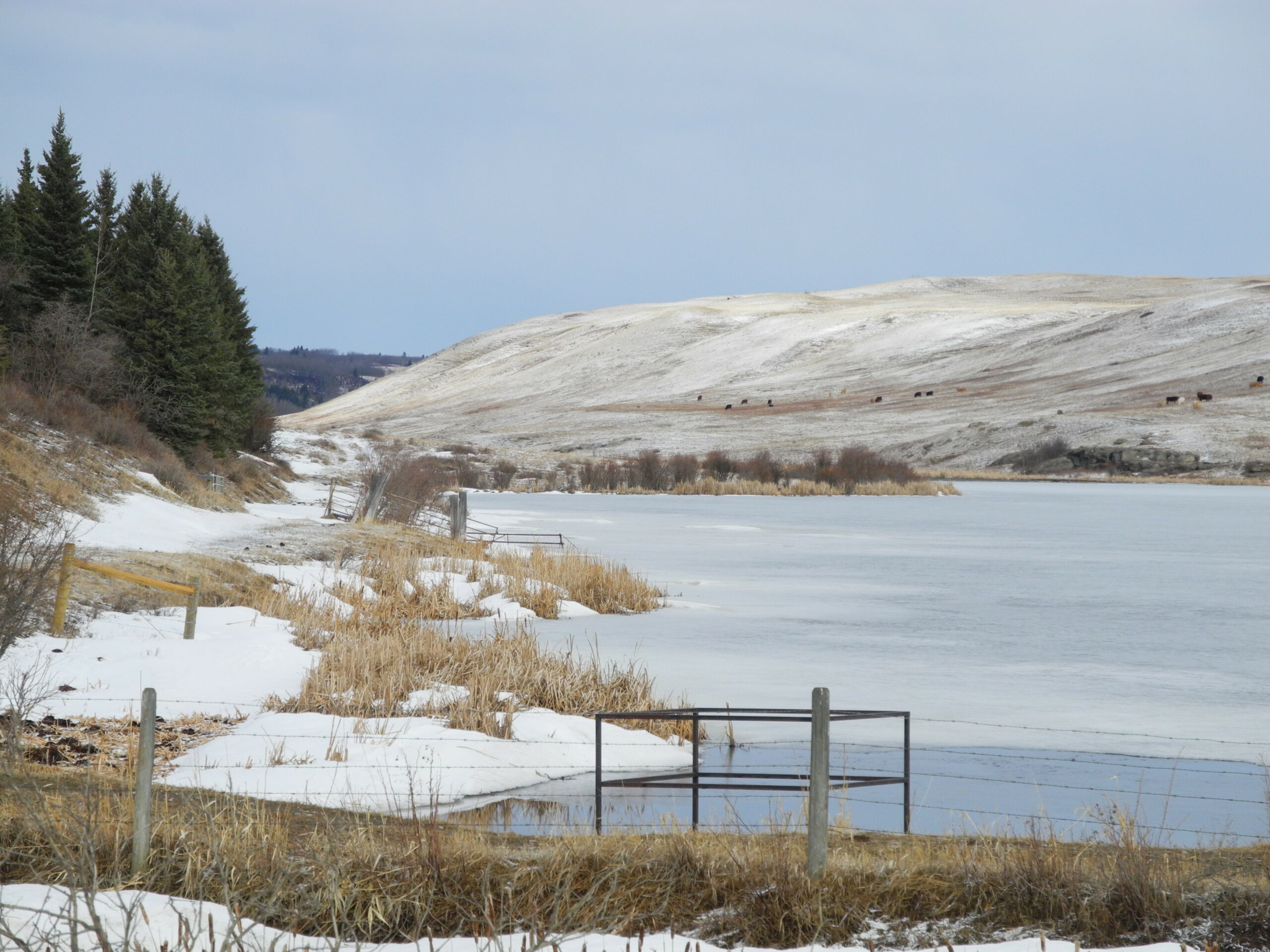
- Winter ice forming over landscape due to beaver activity – Vivian Pharis
-
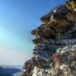
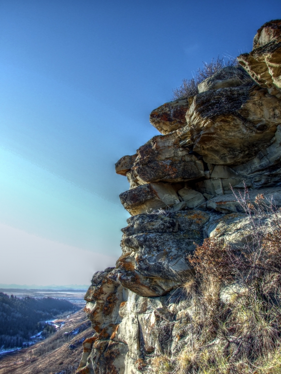
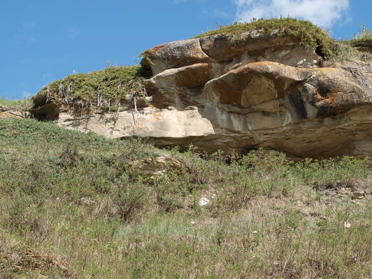
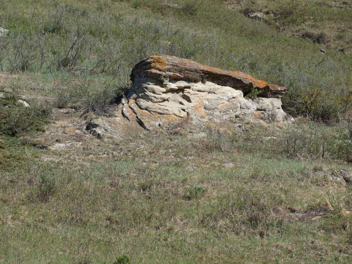
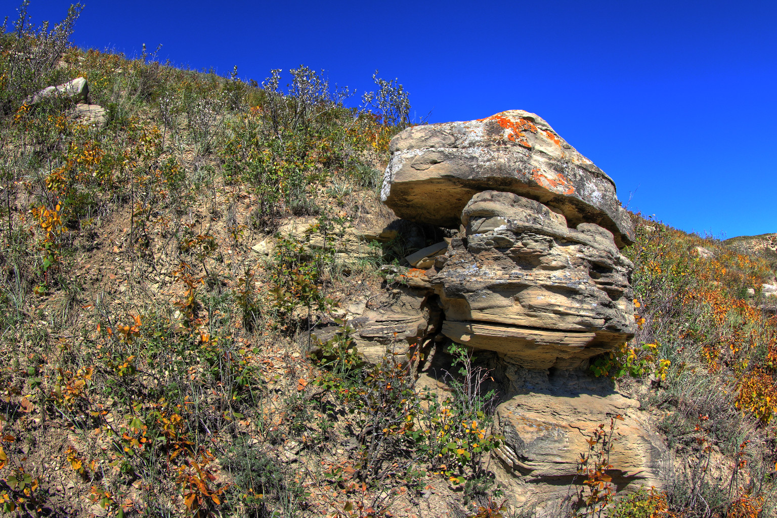
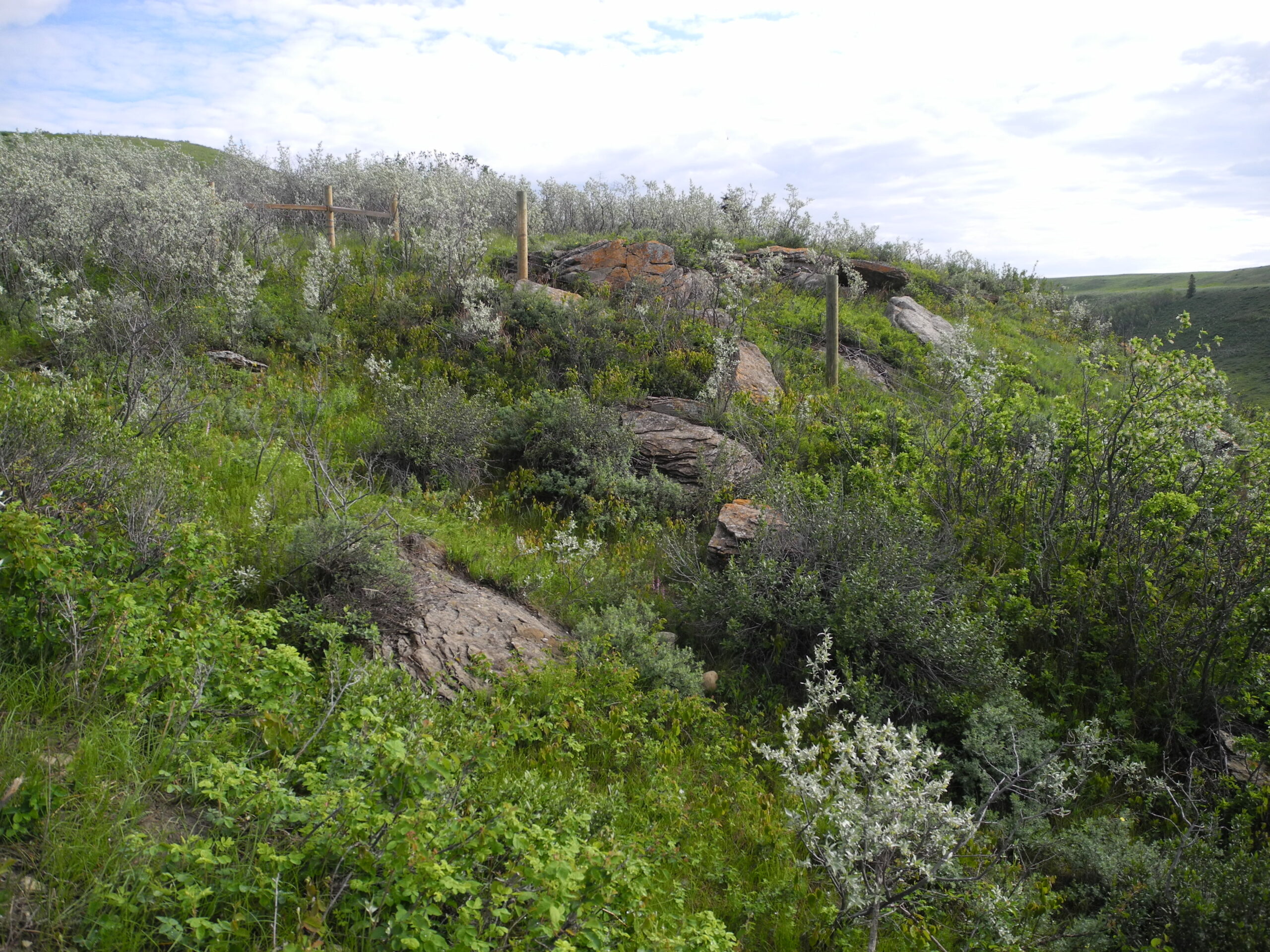
- Cliff face in lower coulee – Daniel Foster
-
- Lower Coulee – Daniel Foster
-
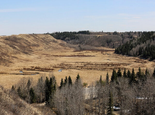
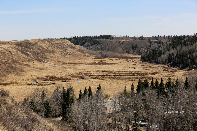
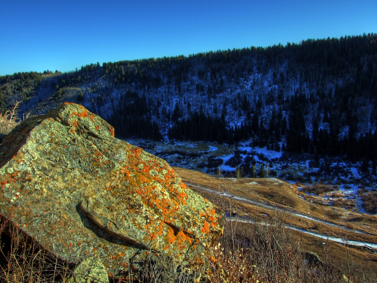
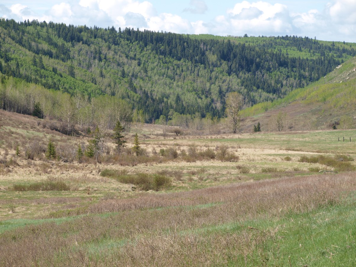
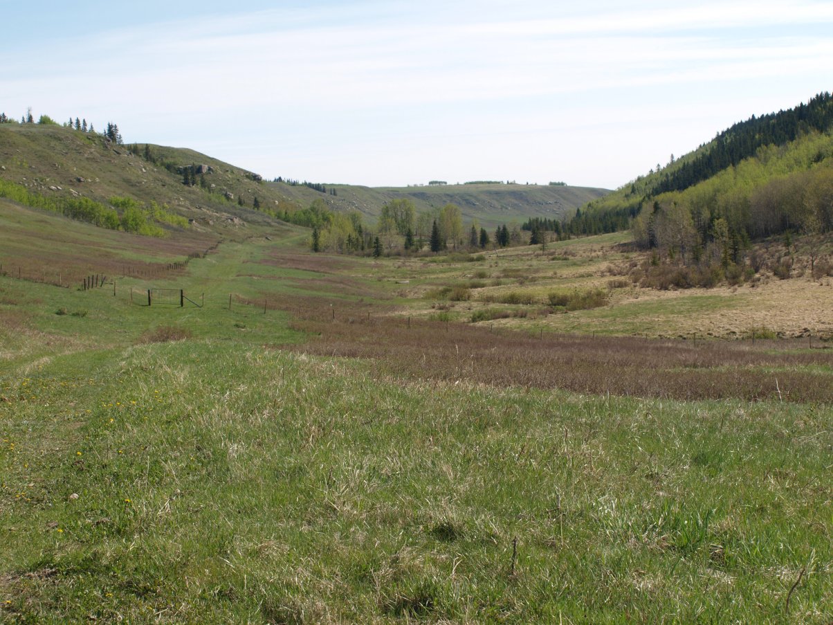
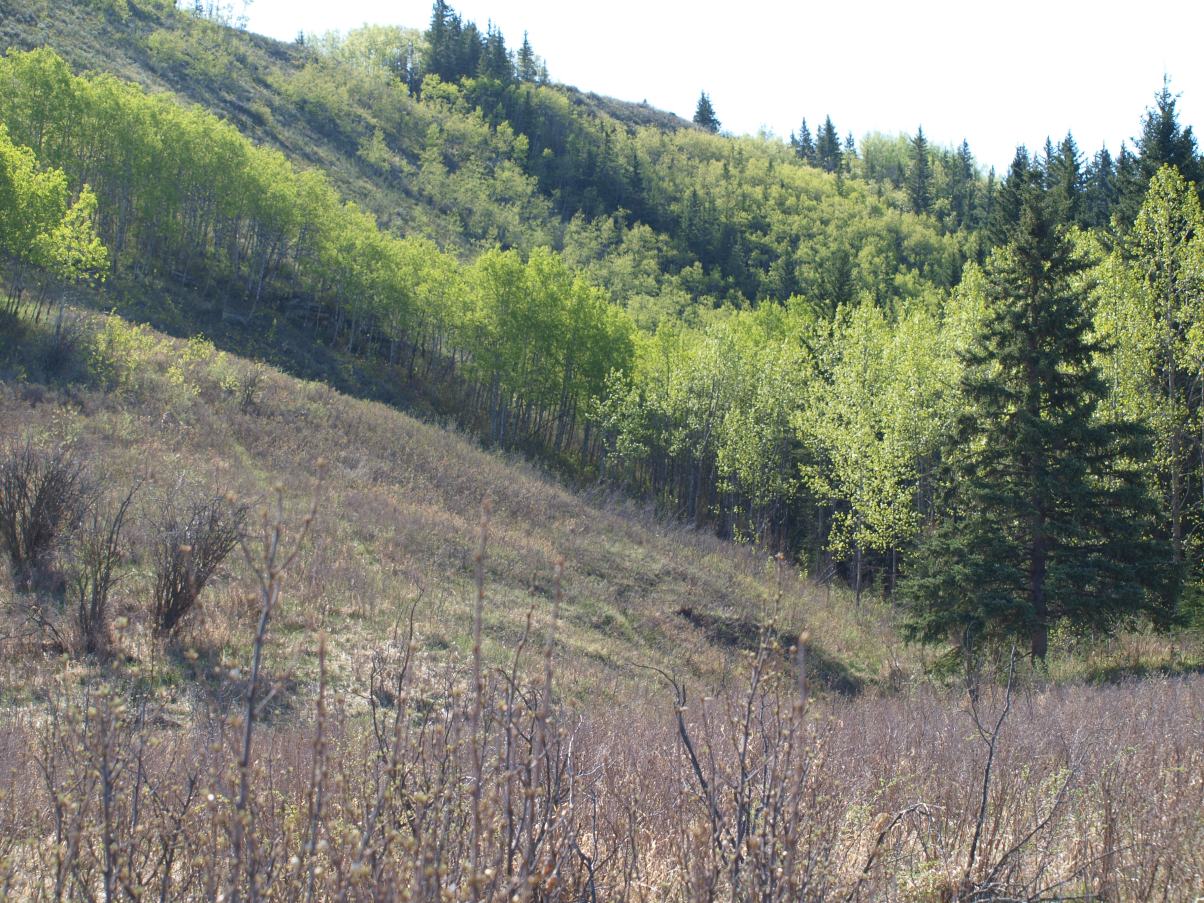
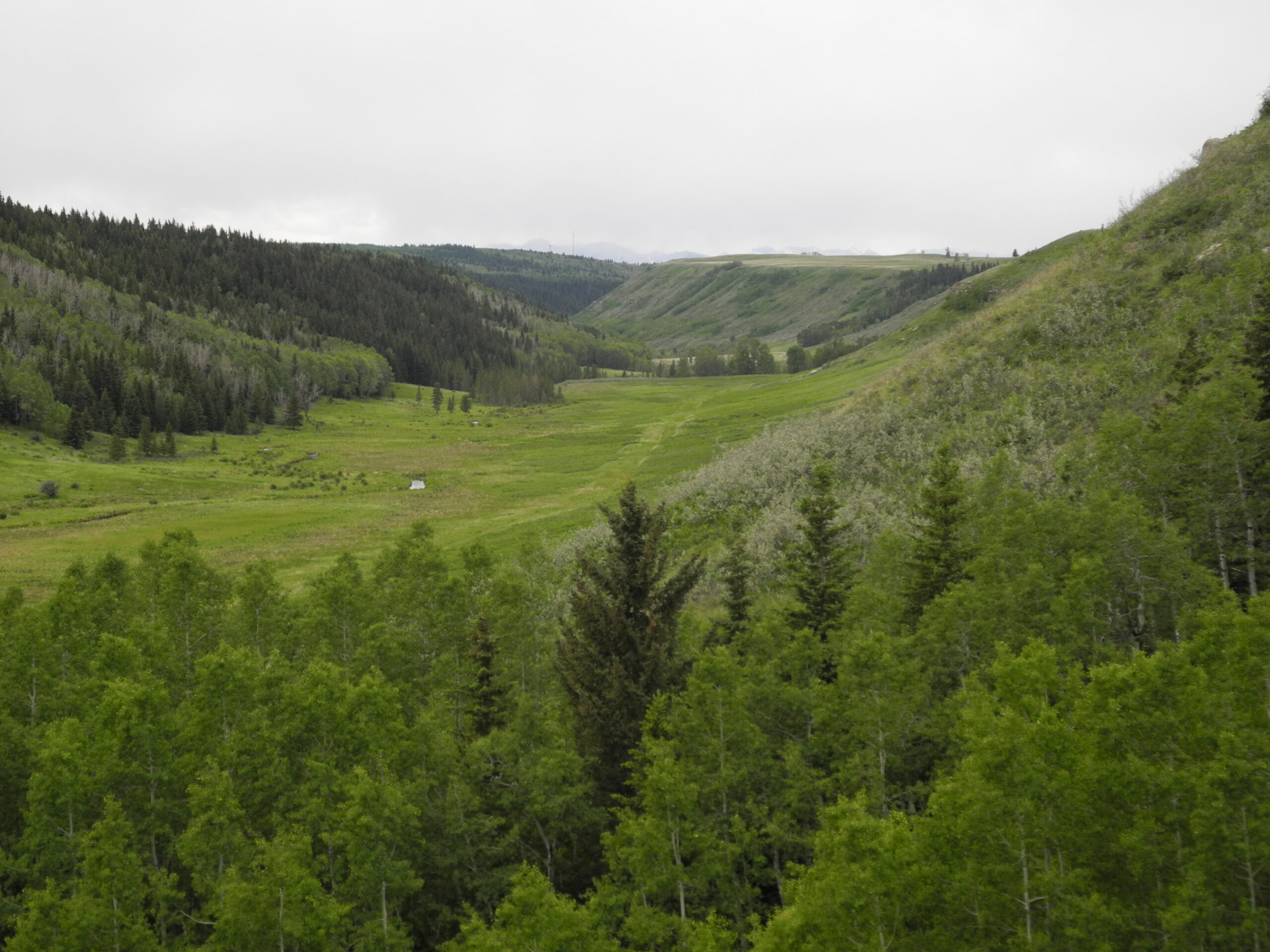
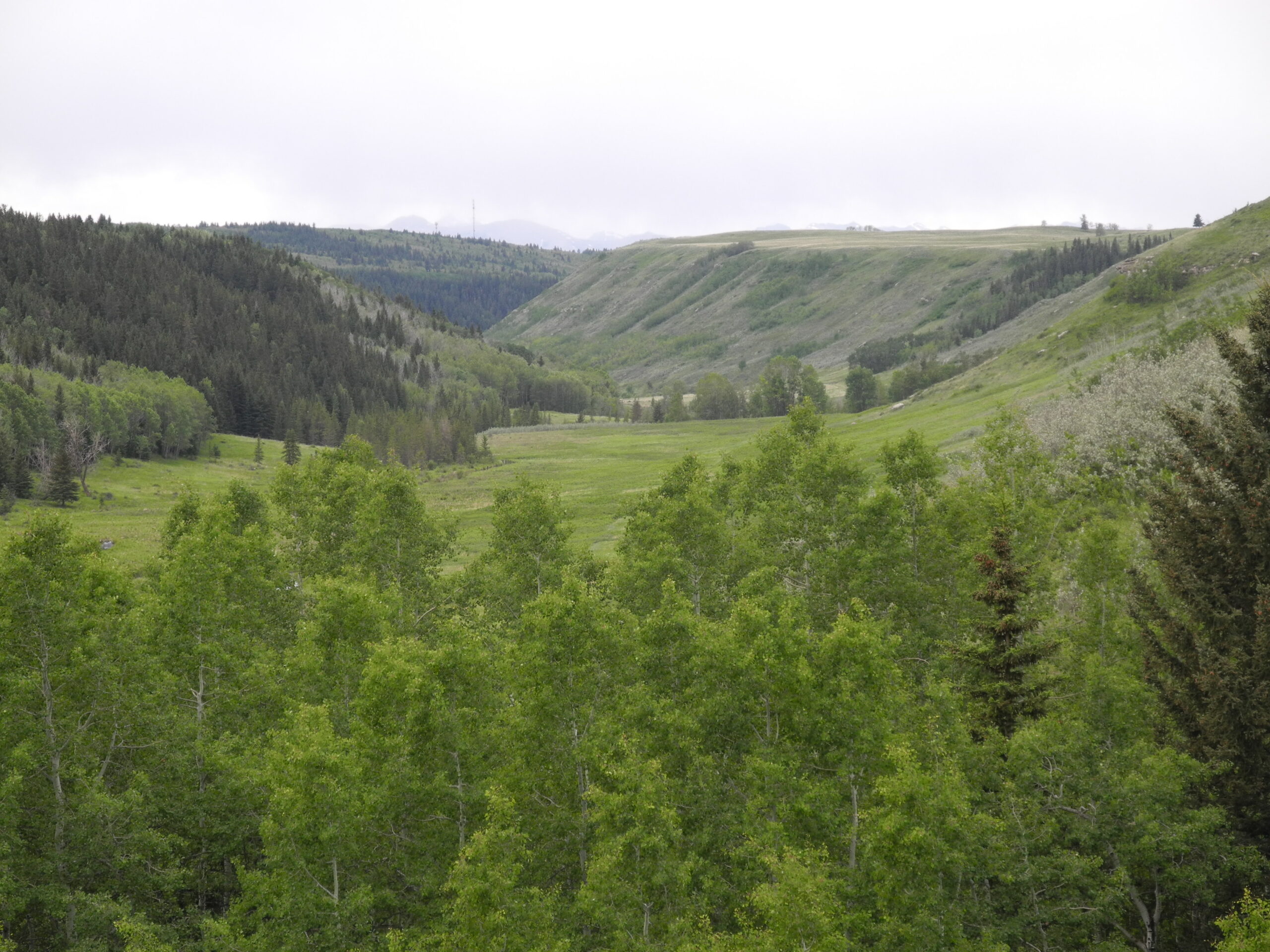
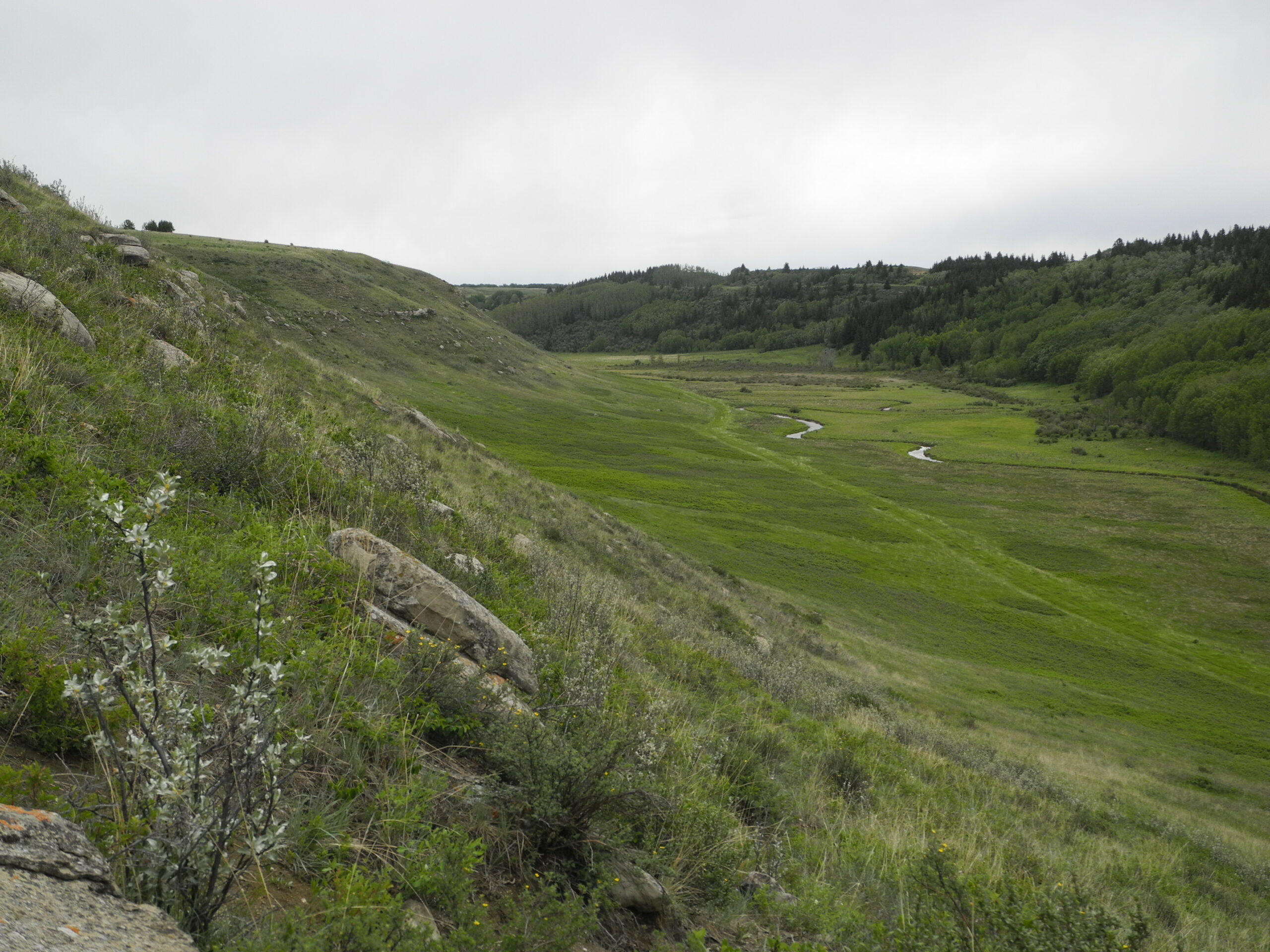
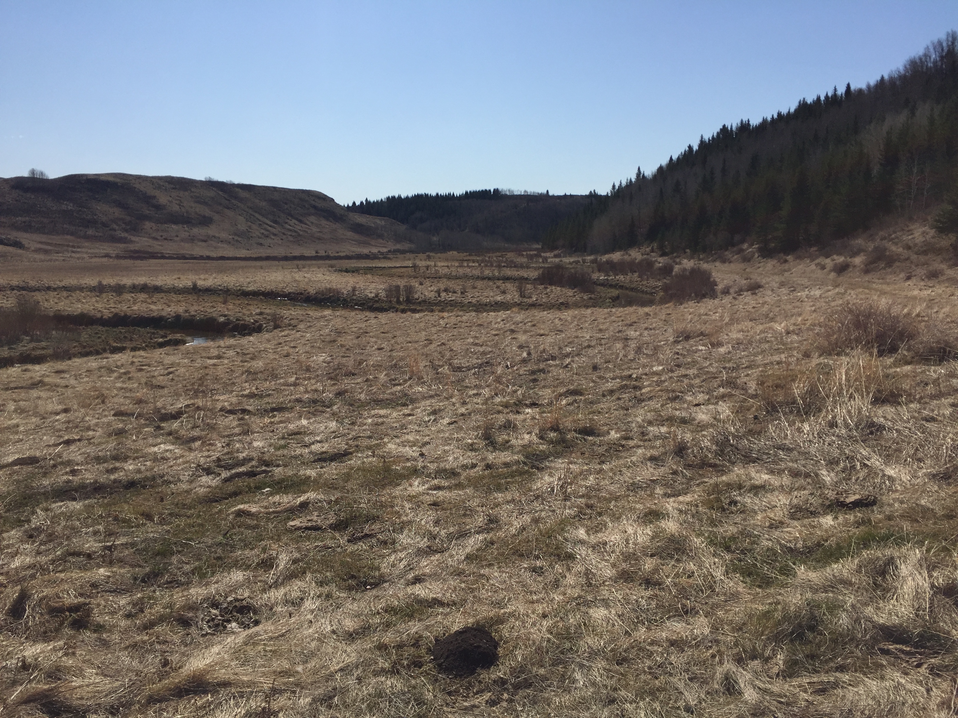
- Bighill Creek valley looking to the west
-
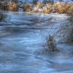
- Ice flooding due to beaver activity – Vivian Pharis
-
- – Daniel Foster
-
- – Daniel Foster
-
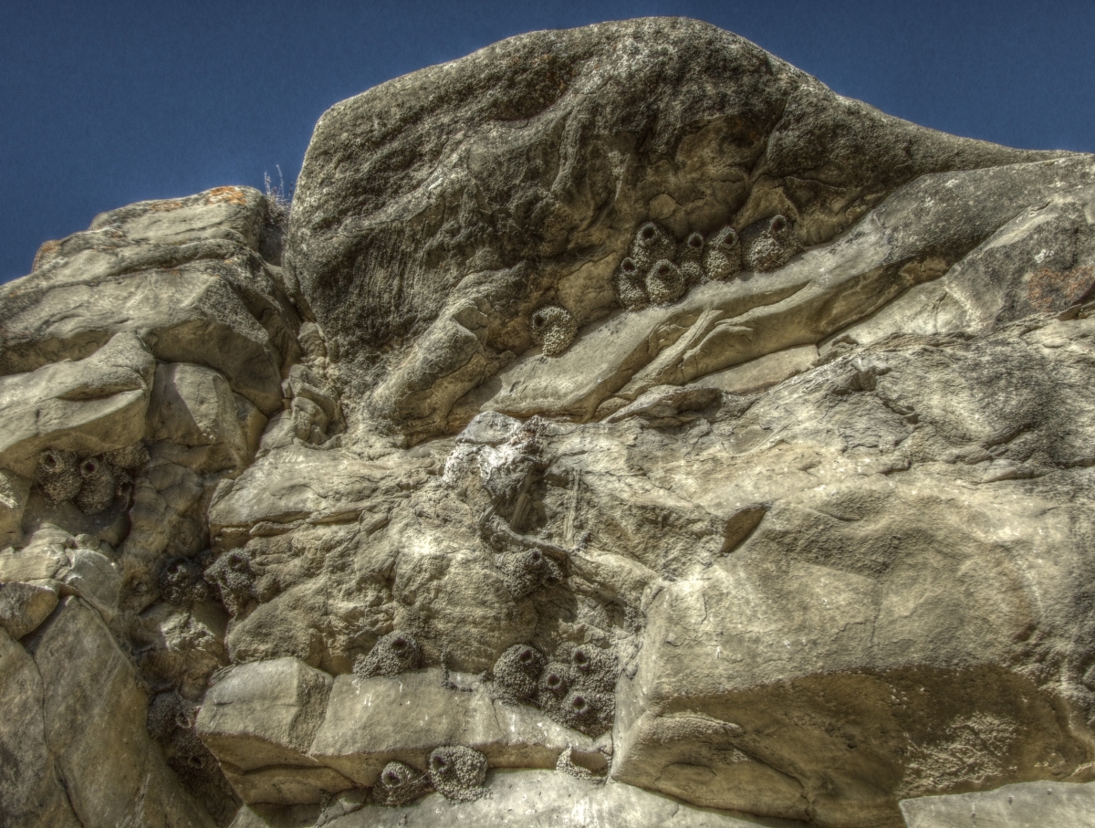
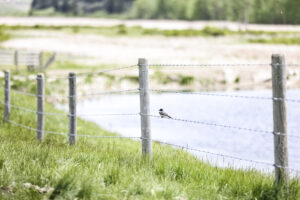
- Cliff Swallow Nests
-
- Decommissioned roadway path through coulee
-
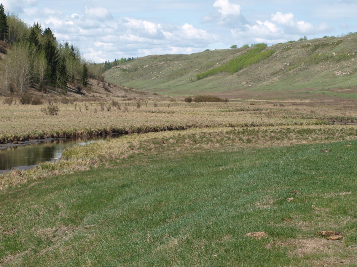
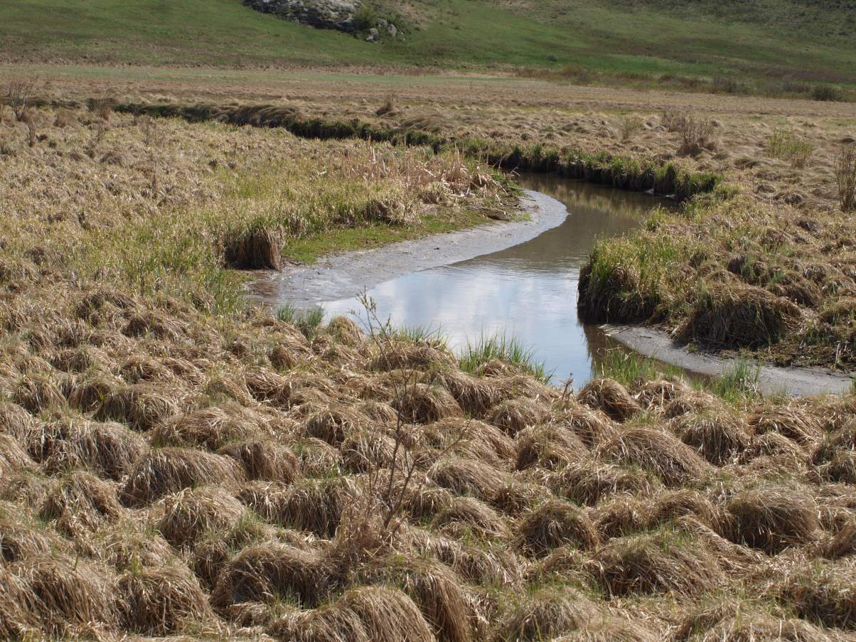
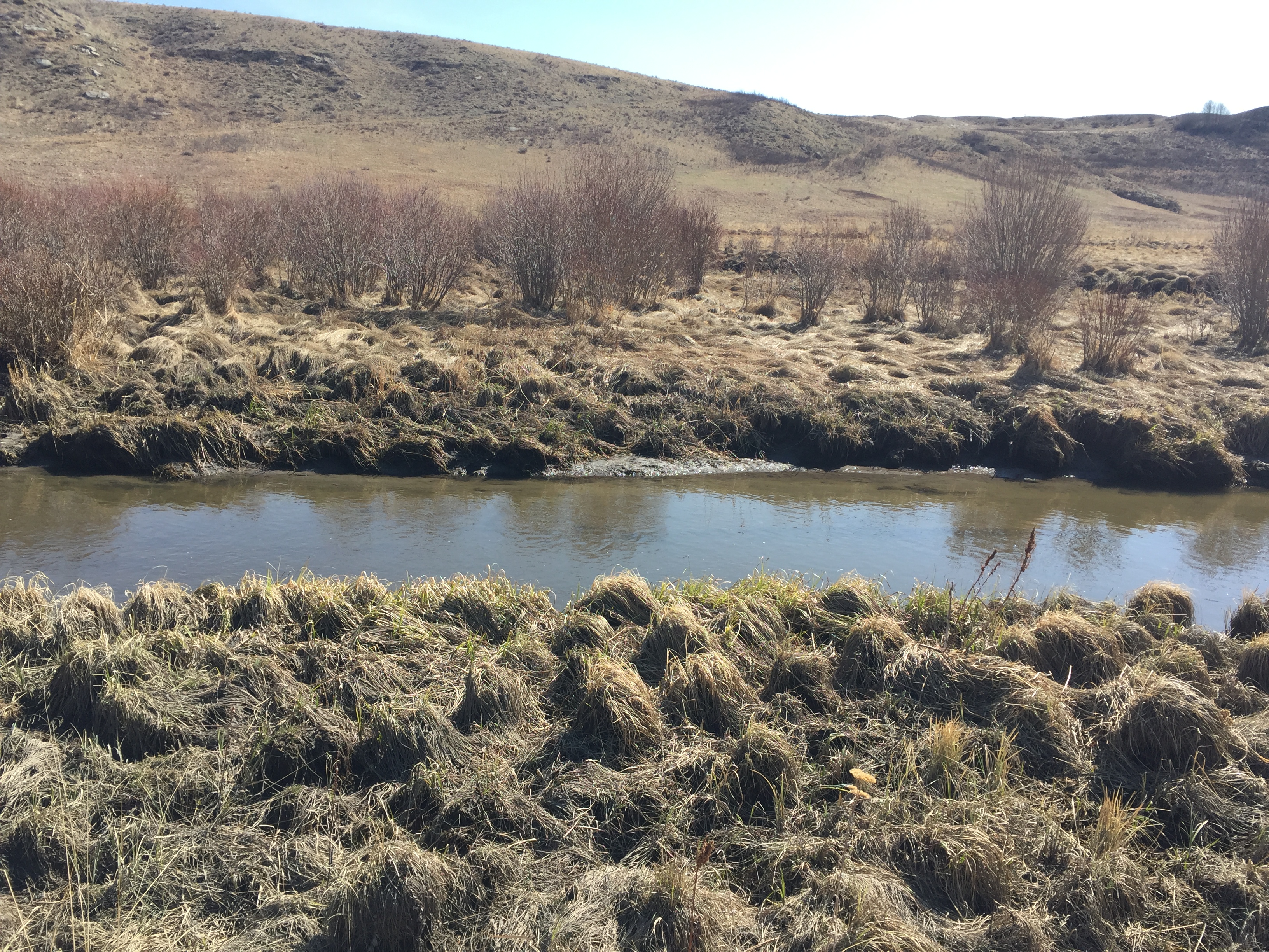
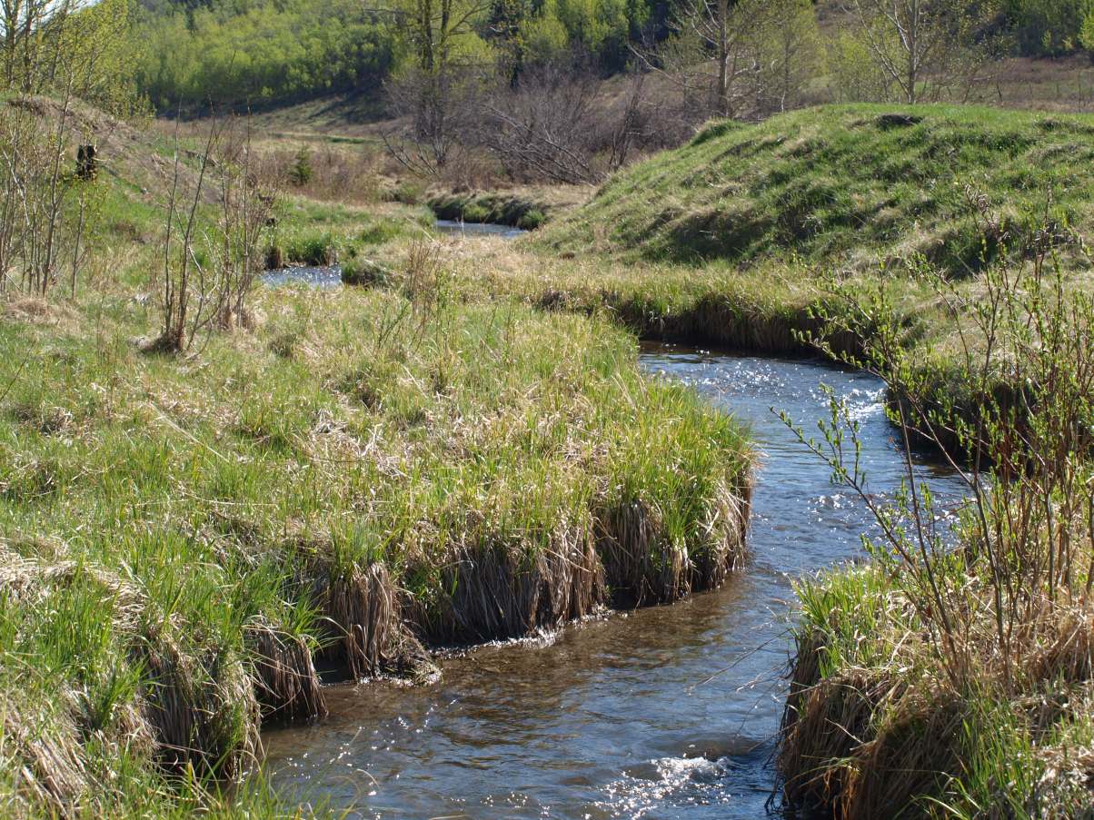
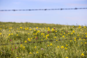
- Healthy riparian area
-
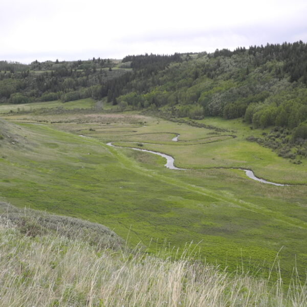
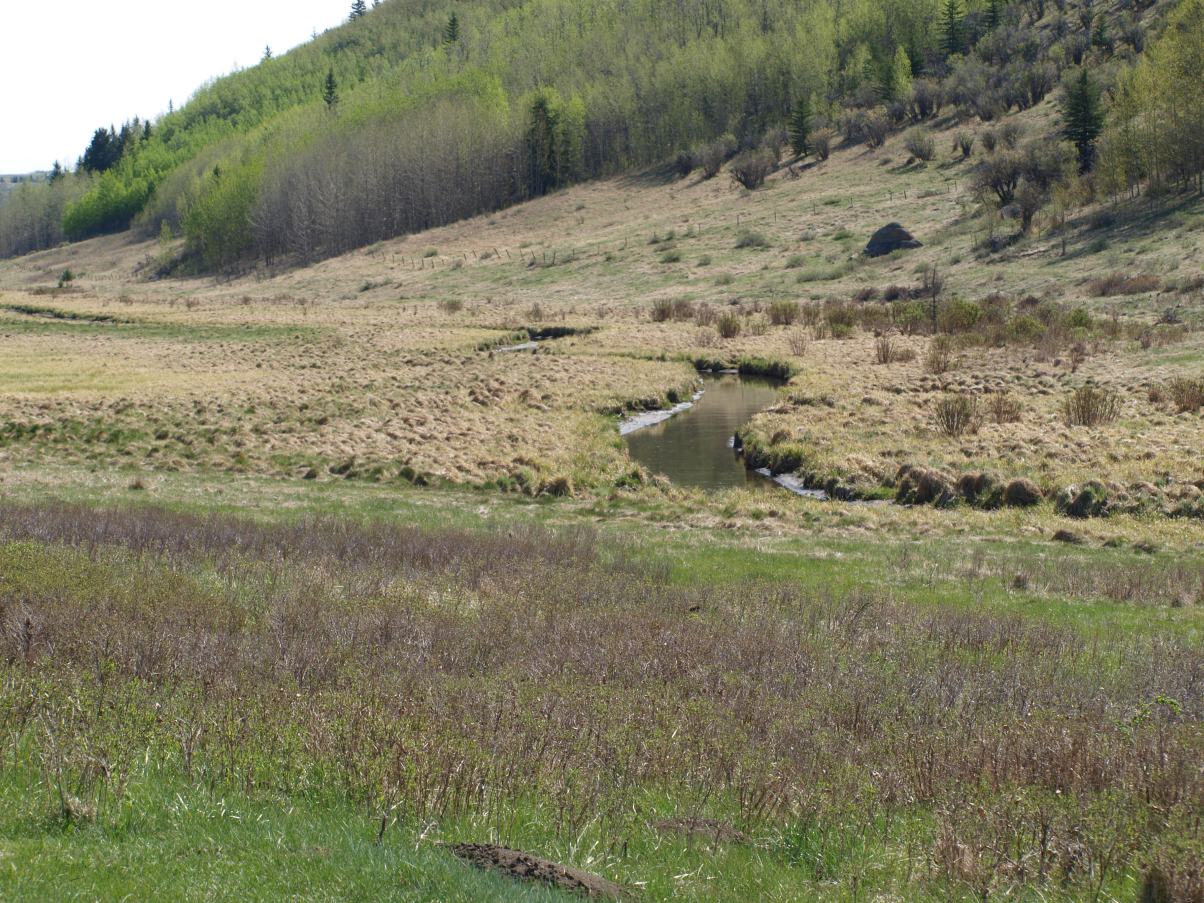
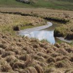
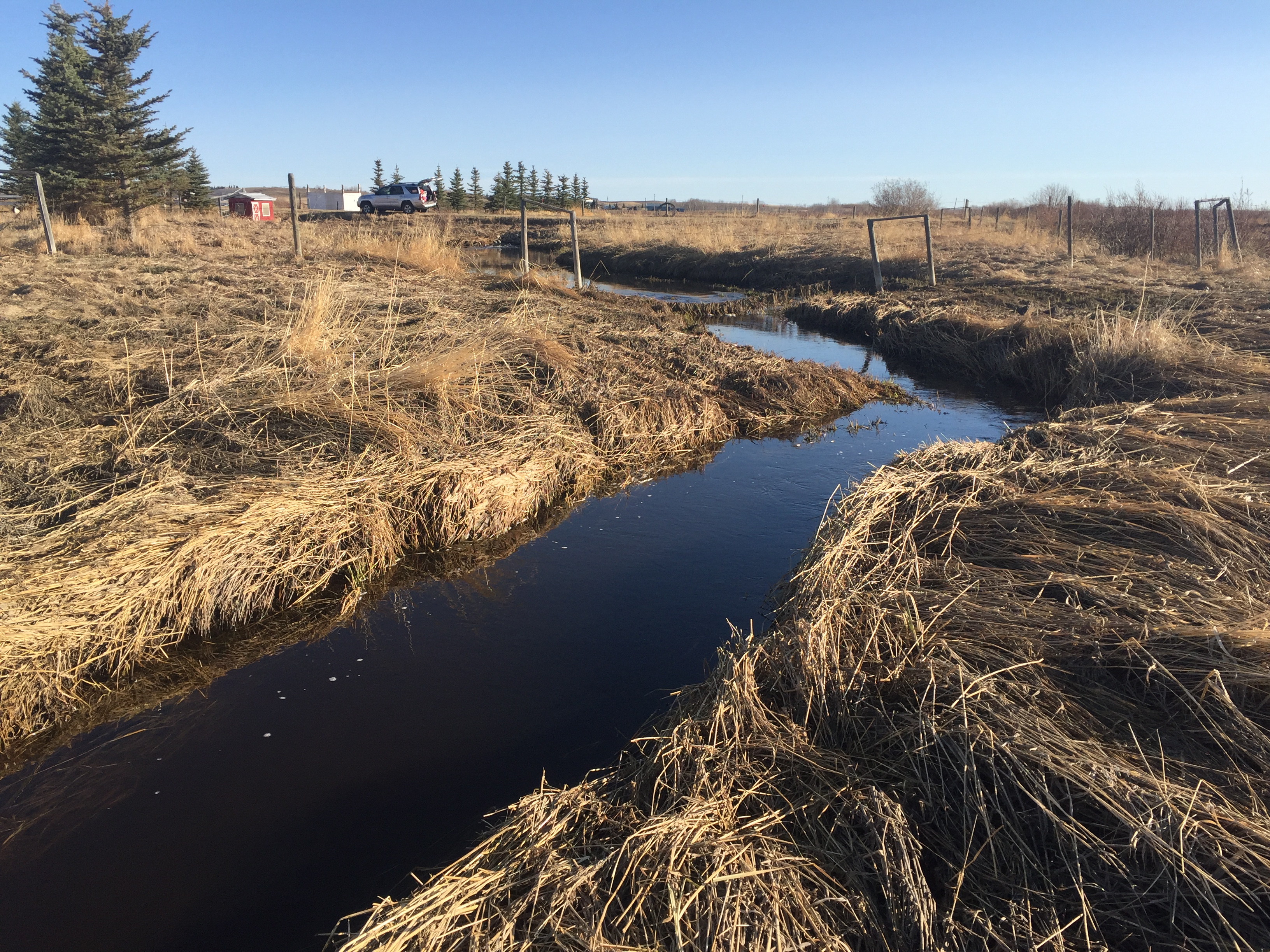
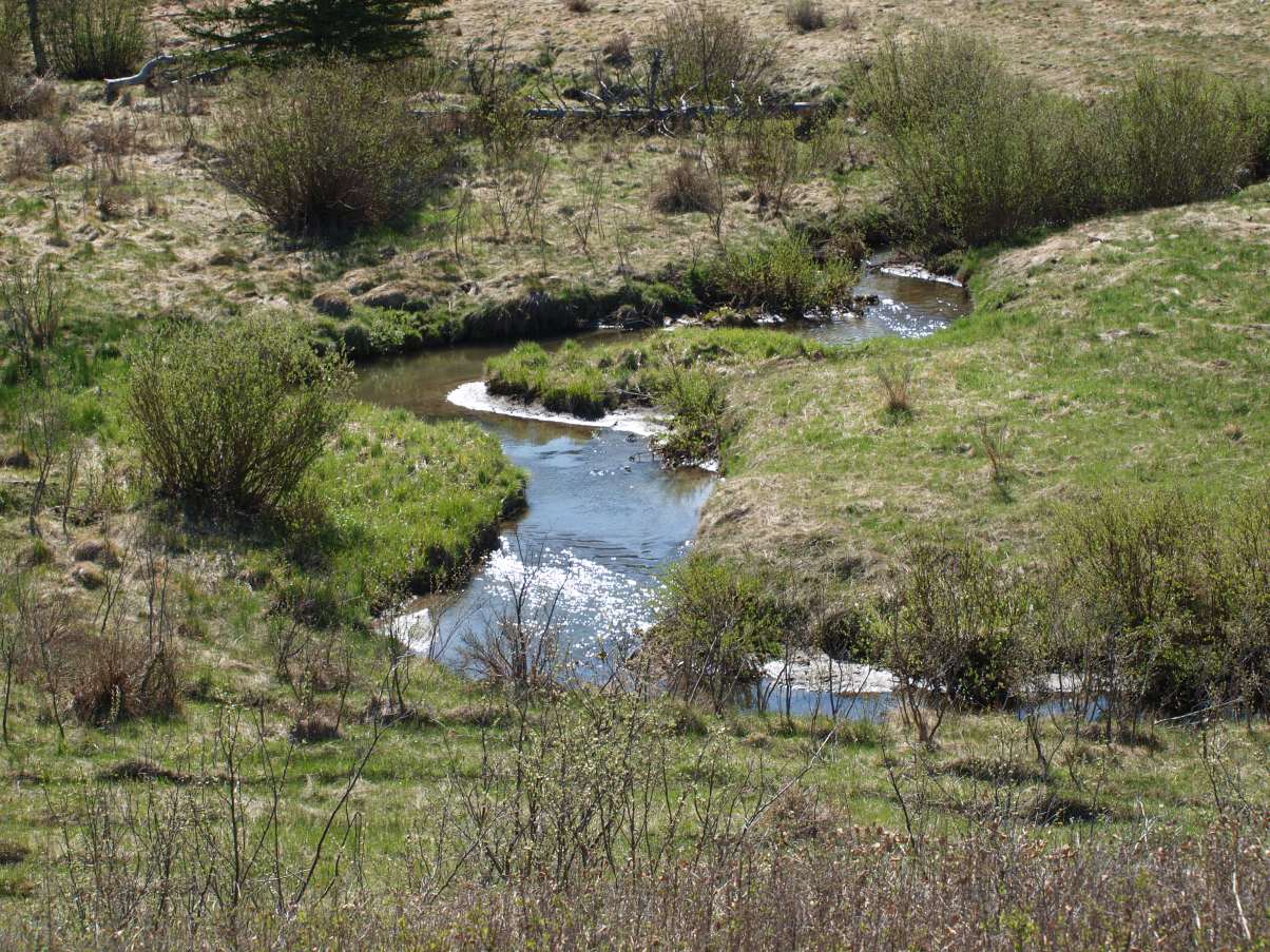
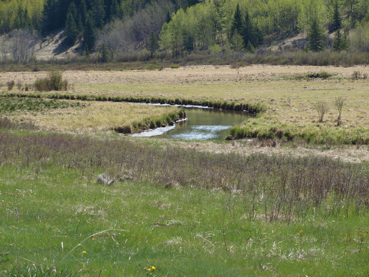
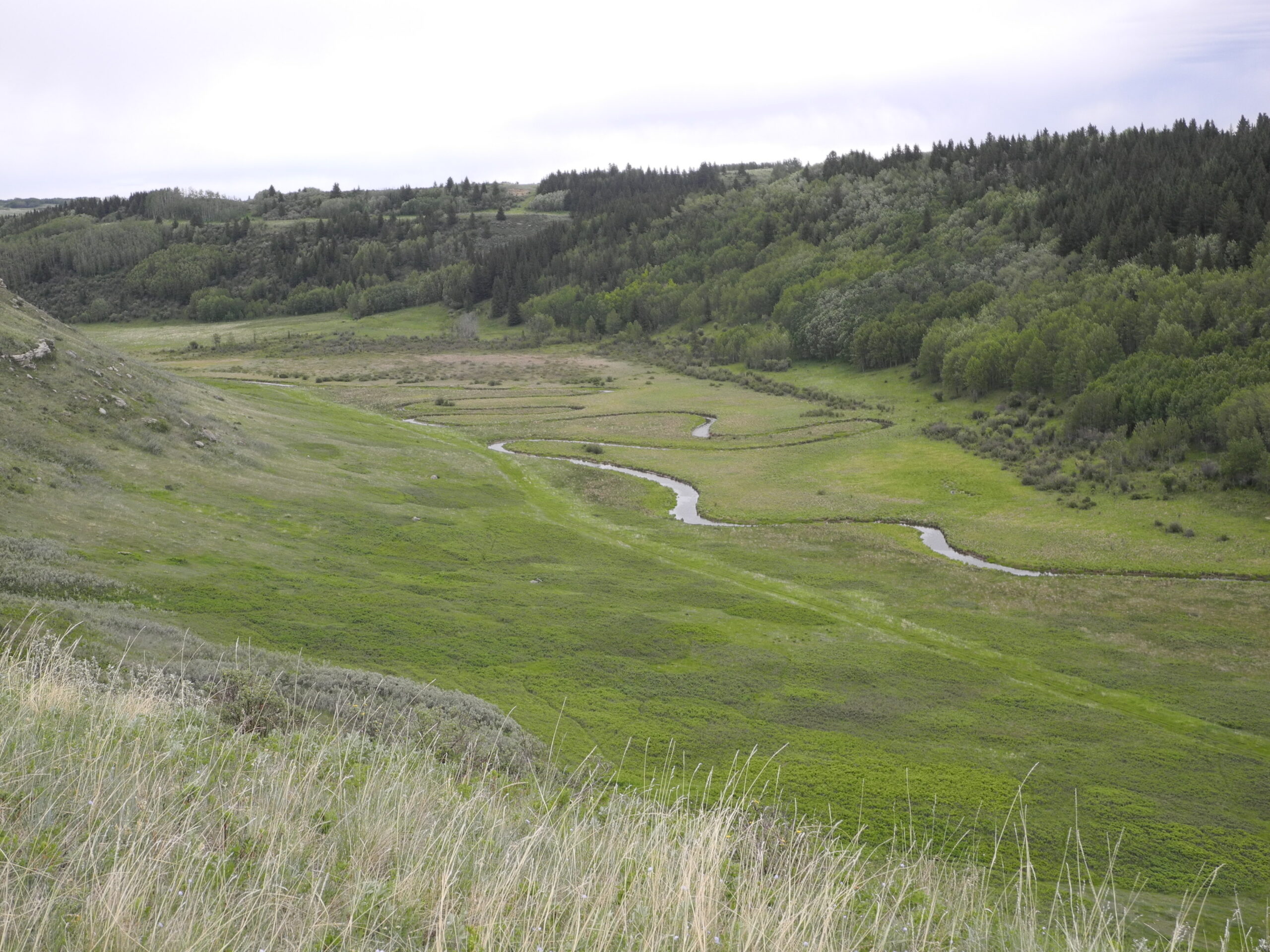
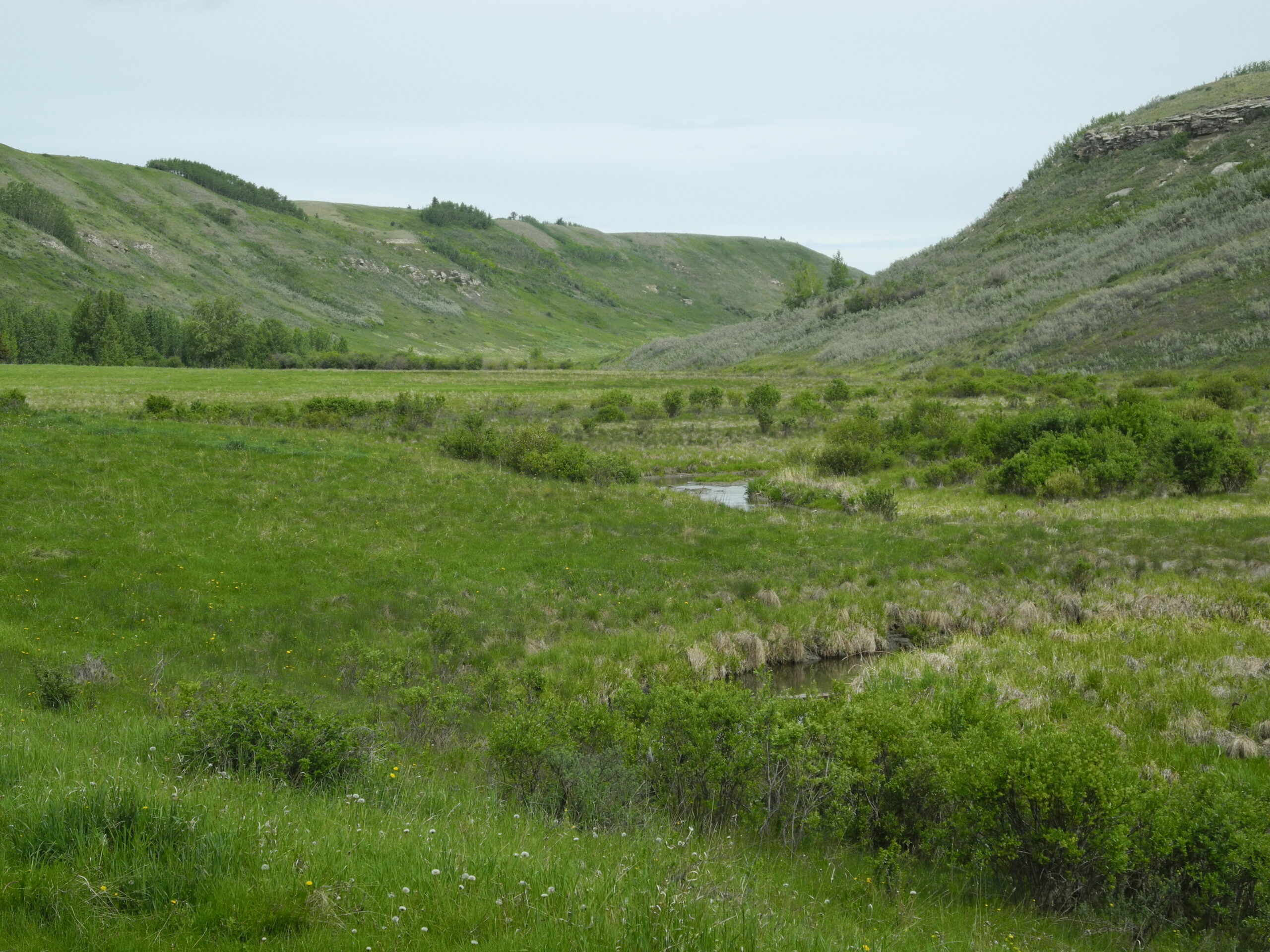
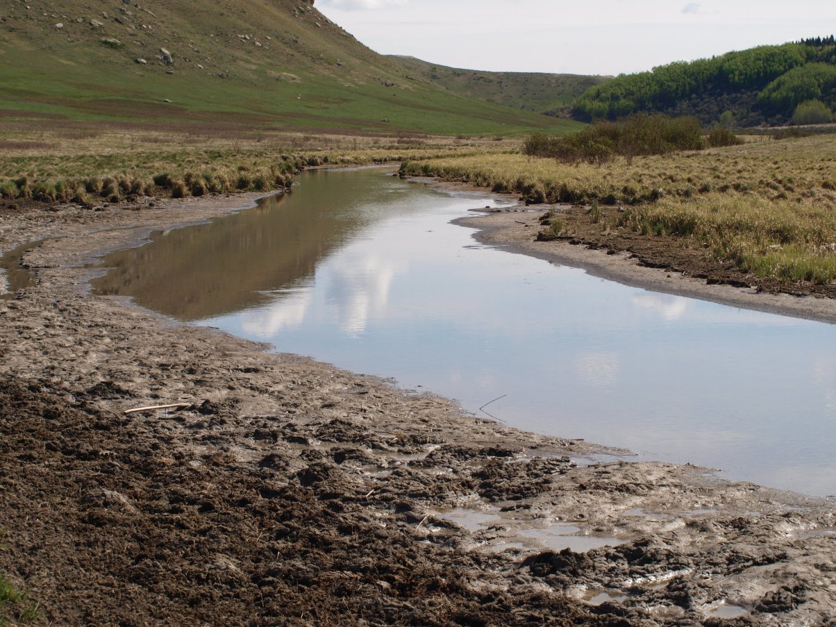
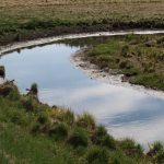
- Bighill Creek meandering
-
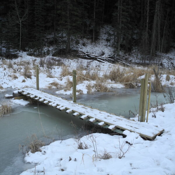
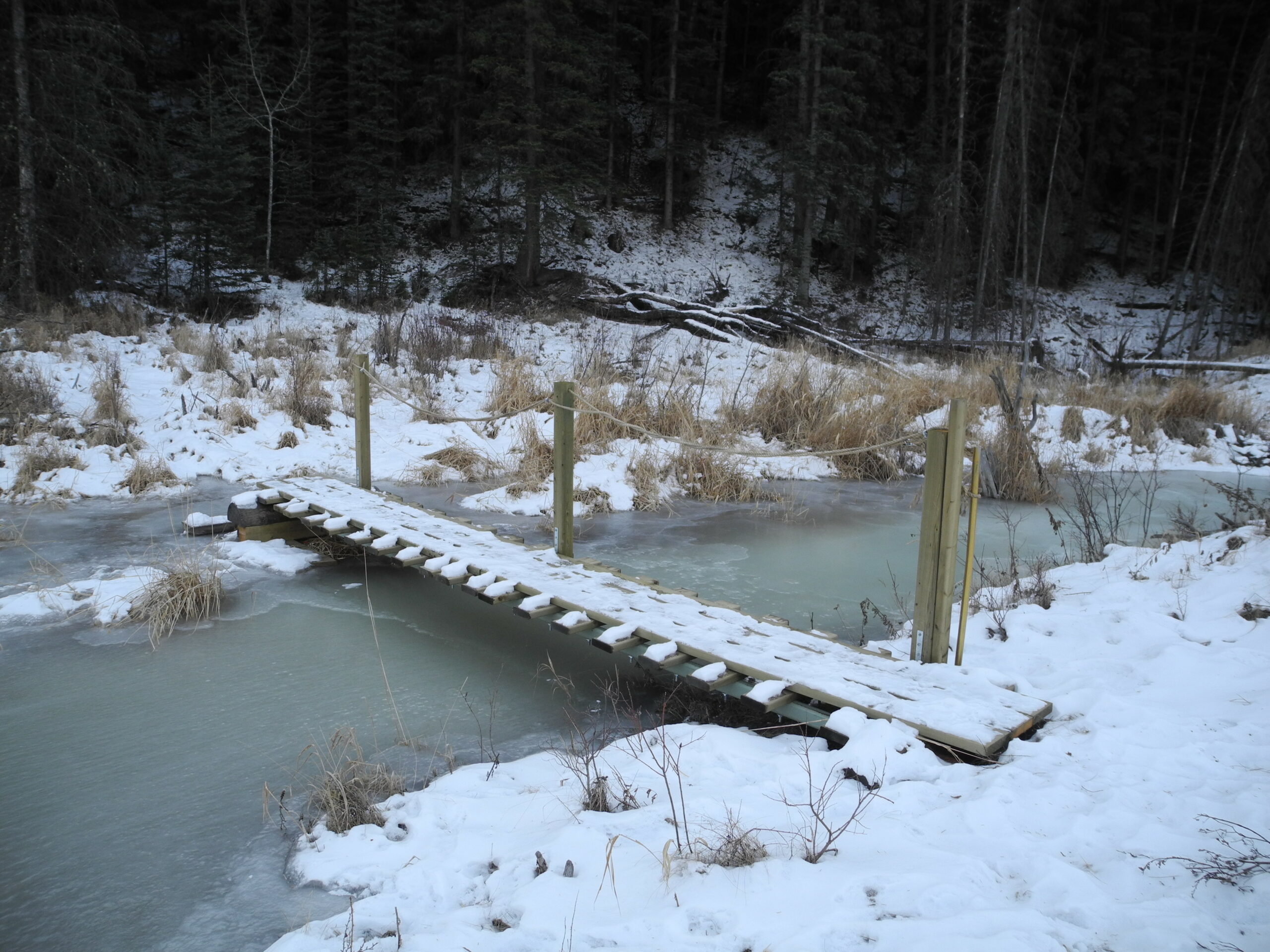
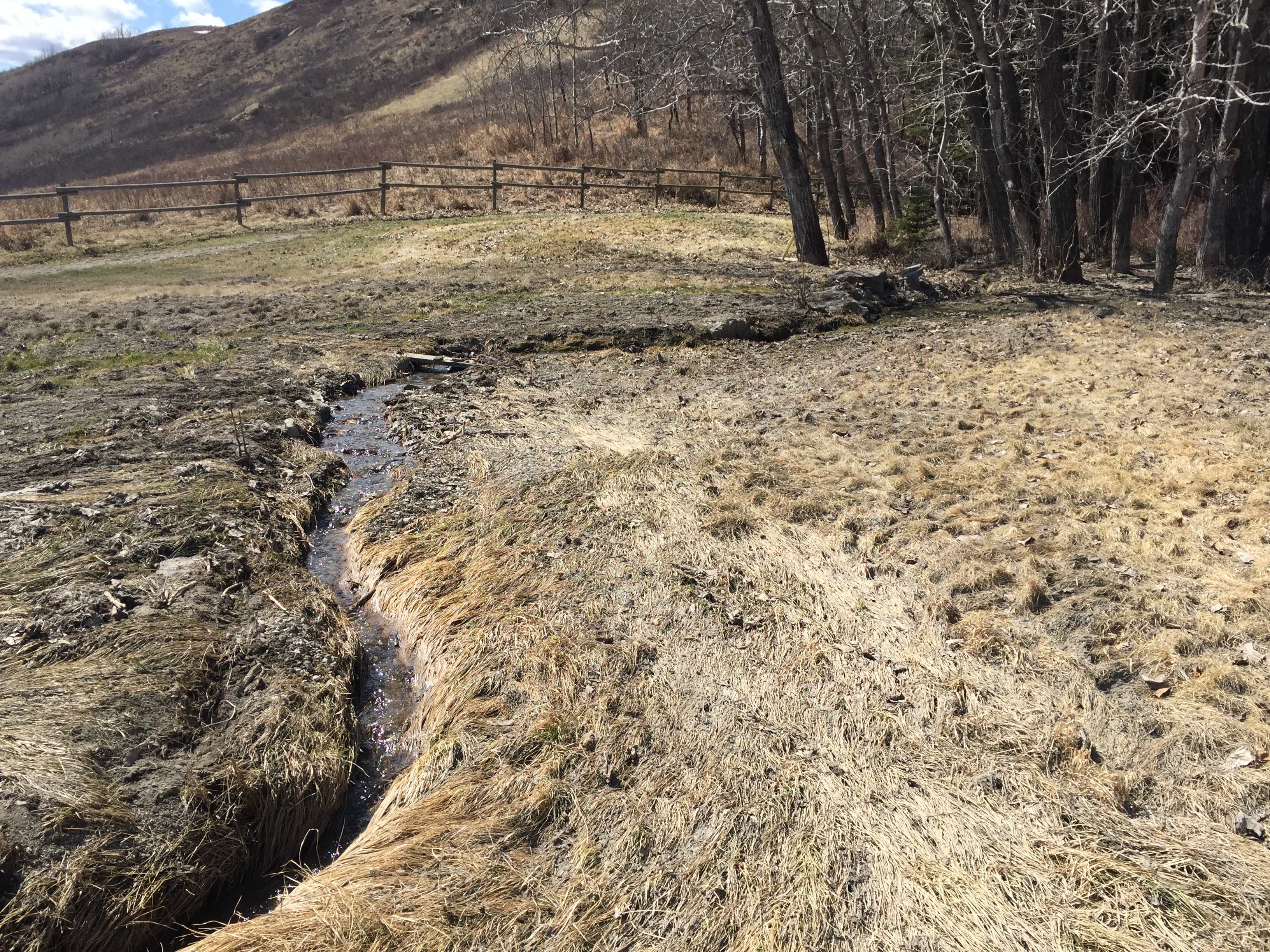
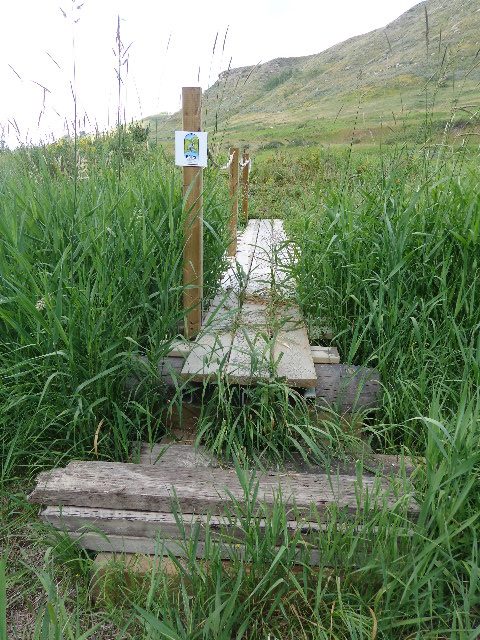
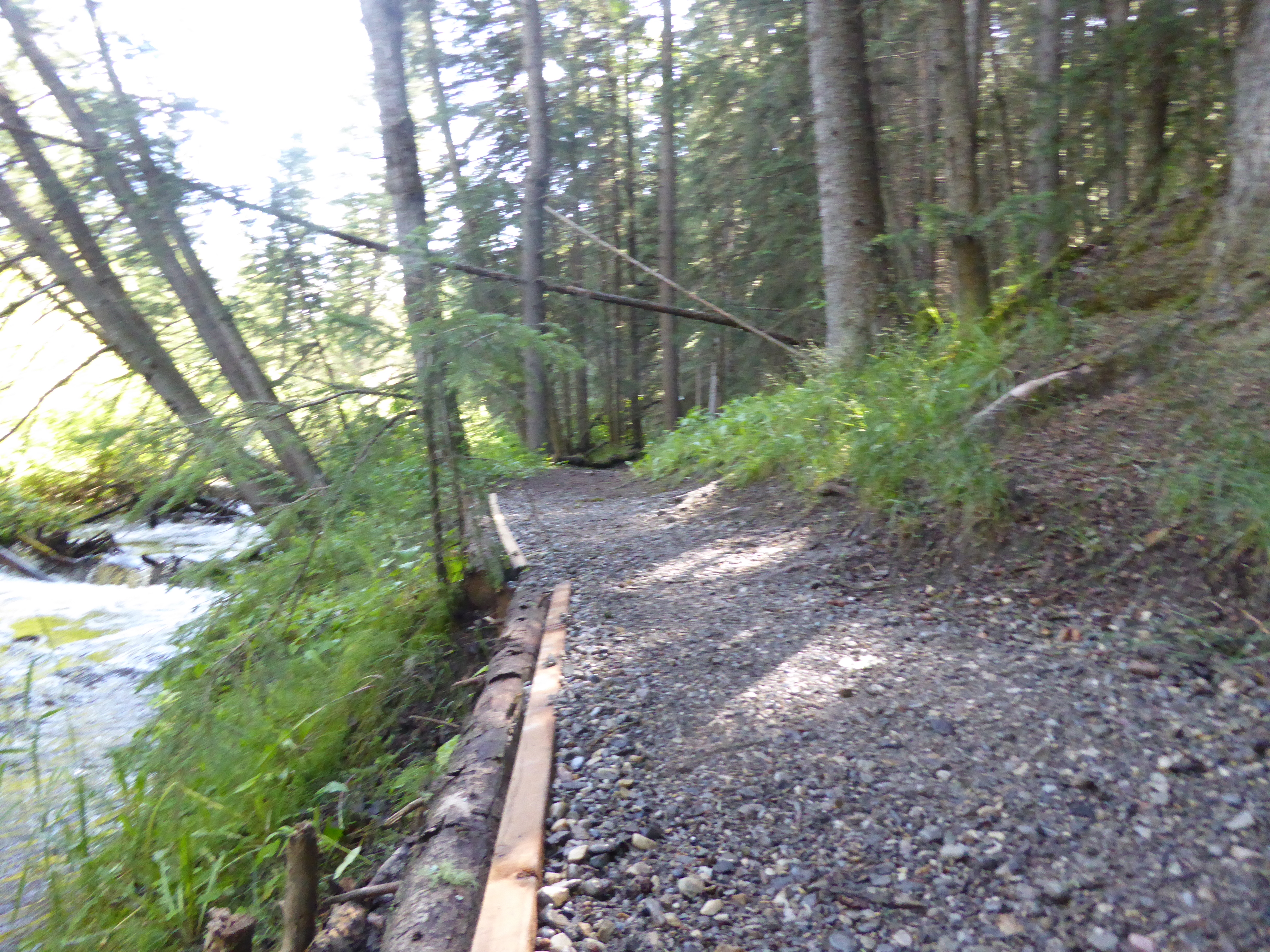
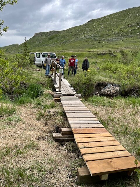
- pedestrian bridge -Spring 2024


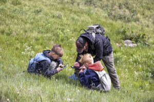
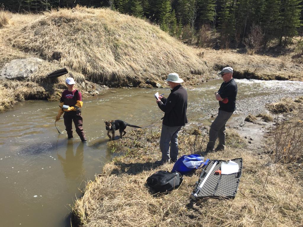
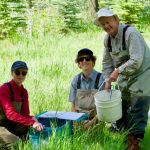
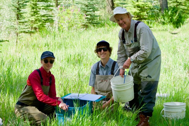
Bioinventory Blitz Days

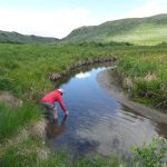
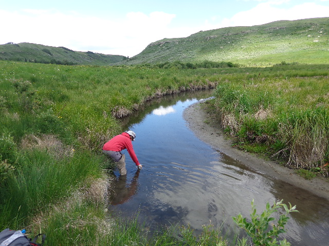
Water Sampling – 2020
-
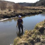
- Dr. Ymene Fouli Sample Site 3
-
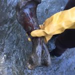
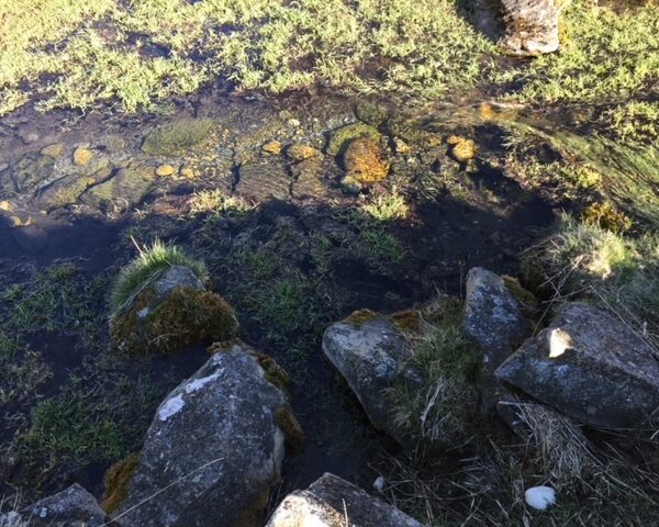
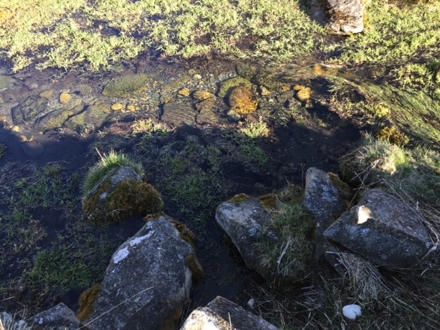
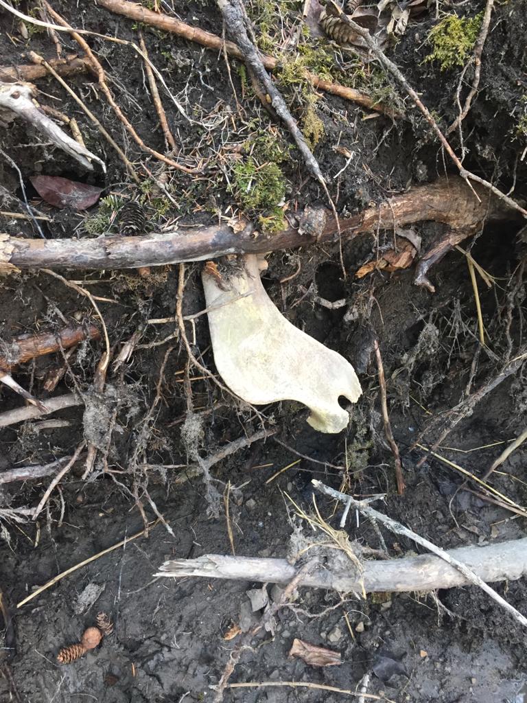
- Sampling revealed old buffalo bone
-
- Recent bone emerging from the bank
-
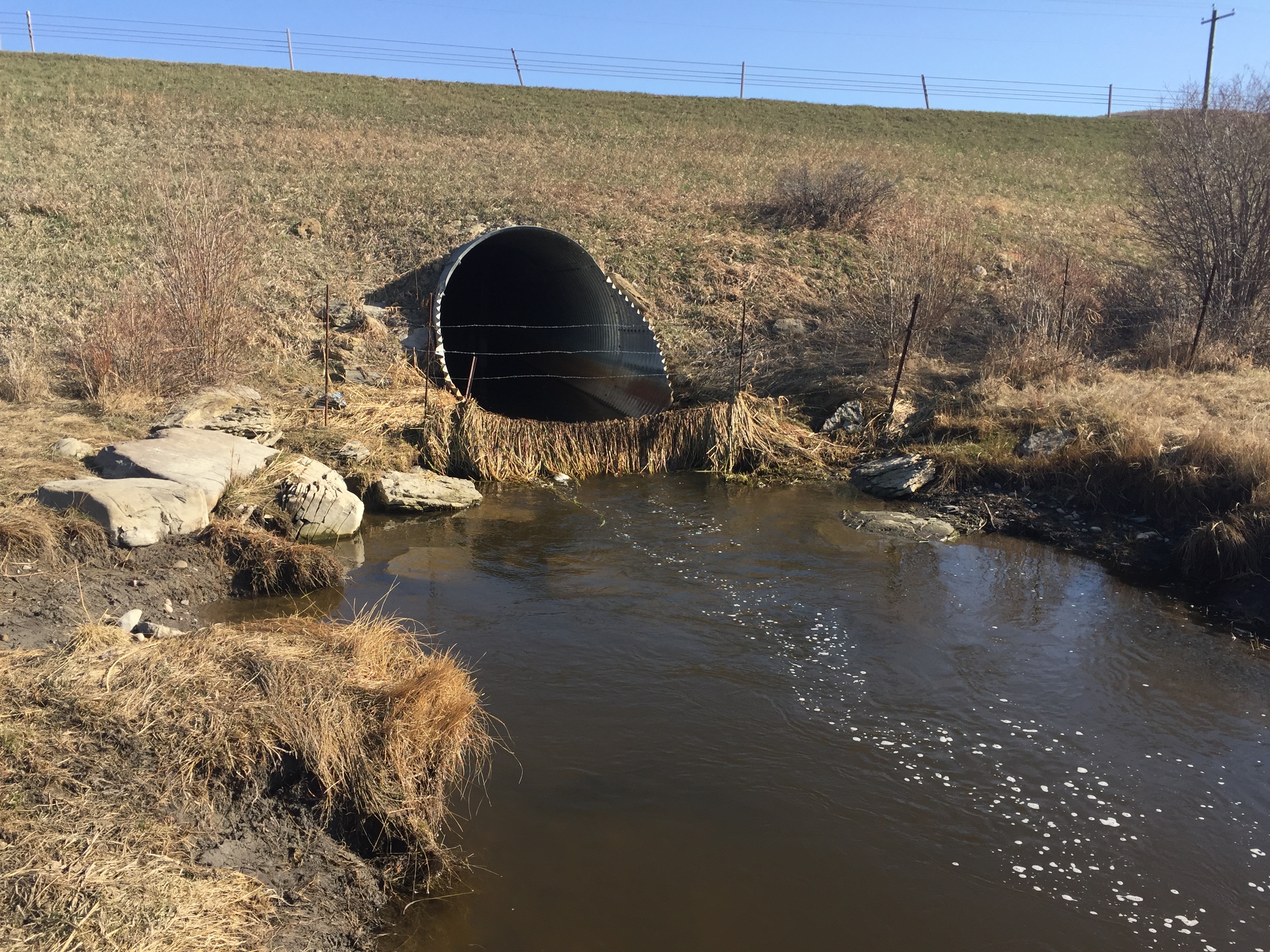
- Culvert Site 1 water sampling
-
- Permanent spring sampling site
-
- Permanent spring sampling site
-
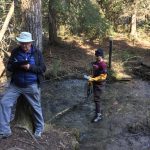
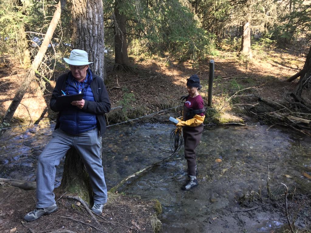
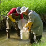
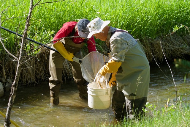
- Dr. Ken Stevenson recording for Dr. Ymene Fouli
-
- Access to some sites require agility
-
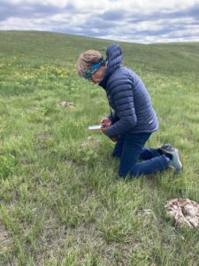
- Dr Ymene Fouli at Site 3 sampling year 1
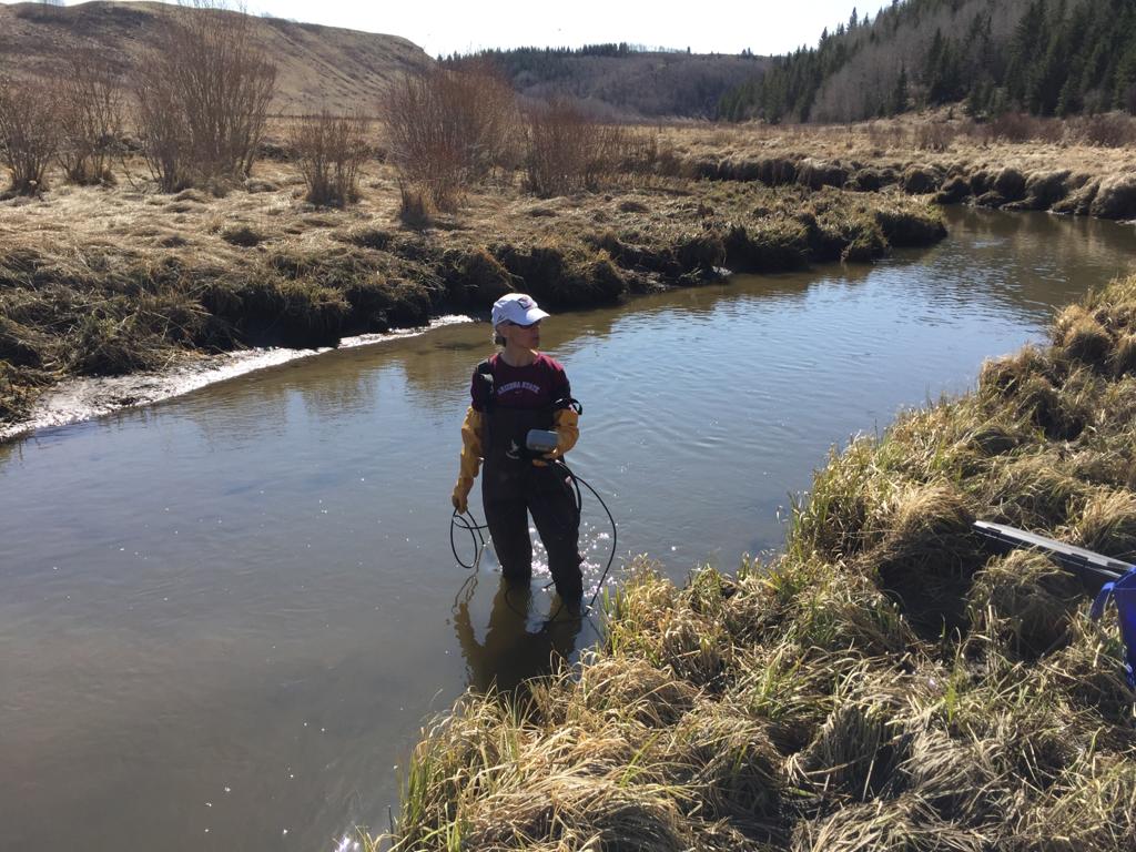
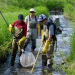
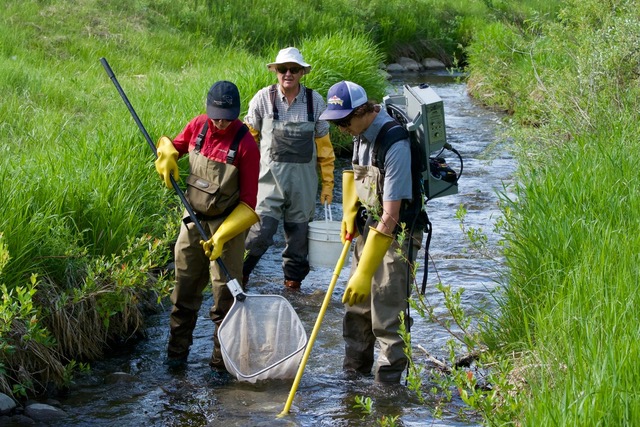
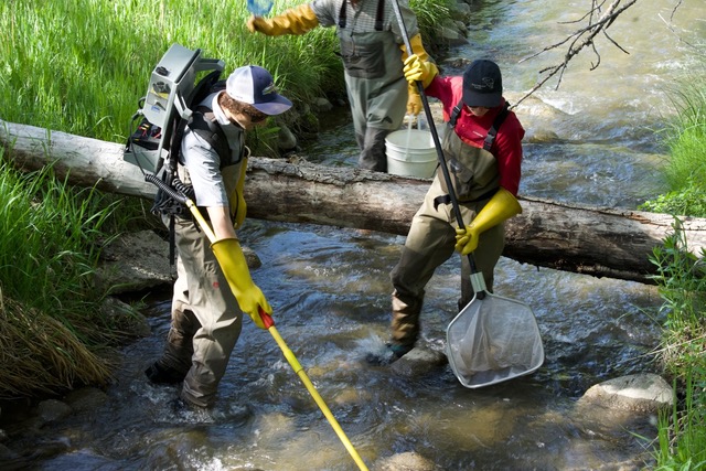
Trout Unlimited Bighill Creek Fish Habitat Study – June 2018
-
- Fish Habitat Study Trout Unlimited June 2018
-
- Dr. Ken Stevenson, BCPS and Elliott Lindsey TU examining samples
-
- Electrofishing June 2018 Trout Unlimited
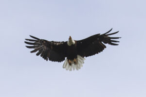
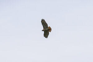
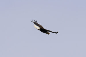
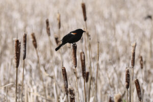
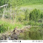
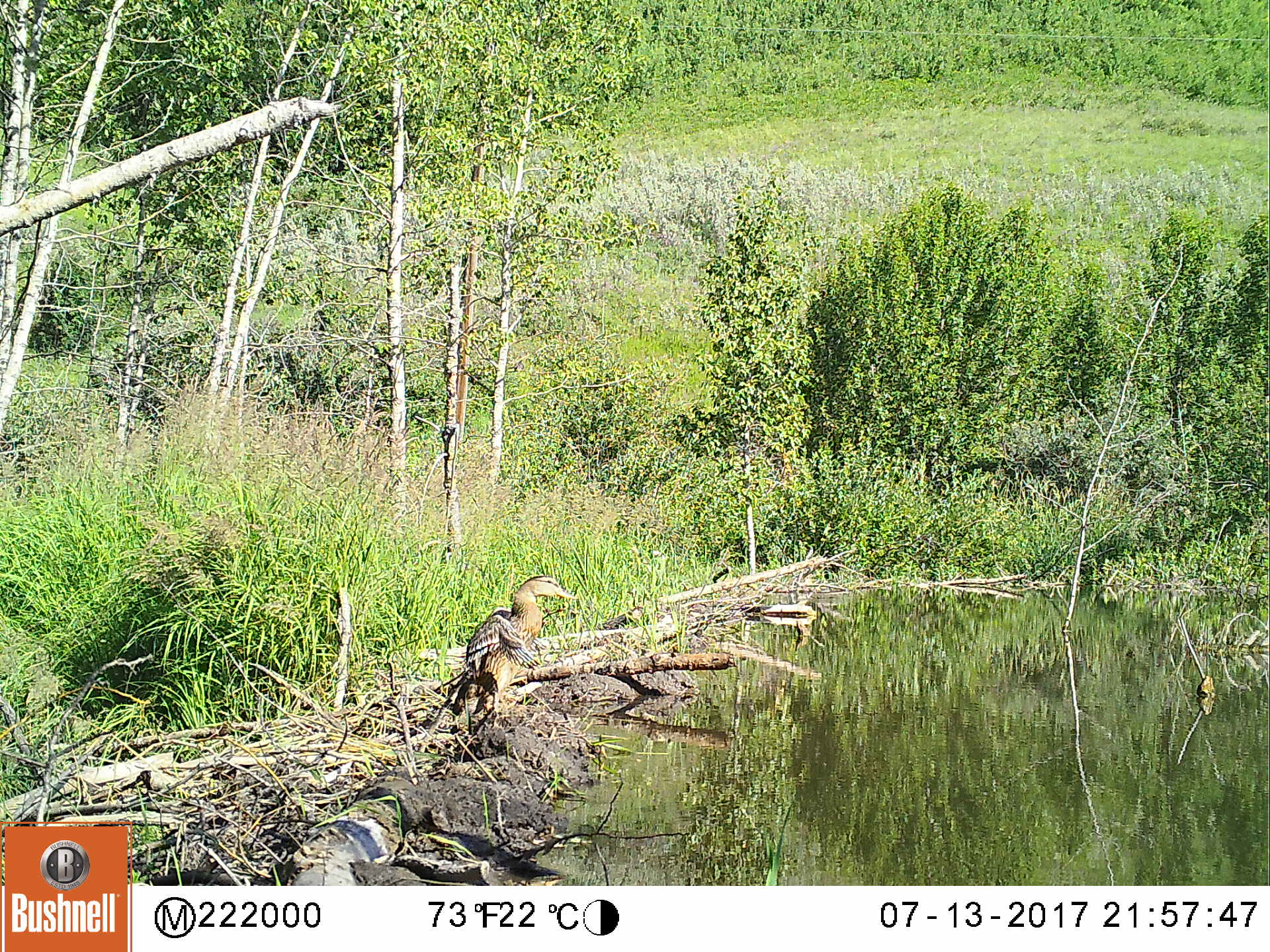
Wildlife Sightings
-
- Mallard – Wildlife Camera
-
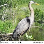
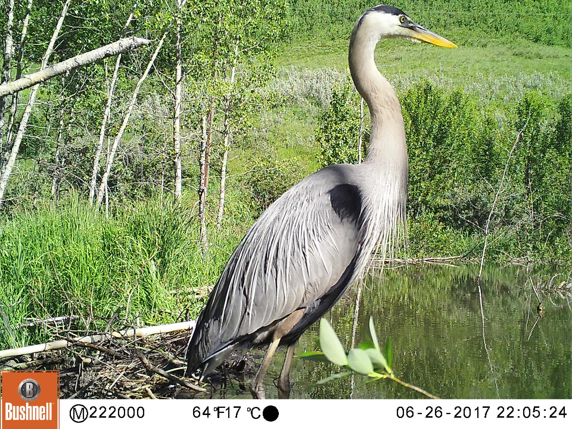
- Blue Heron – Wildlife Camera
-
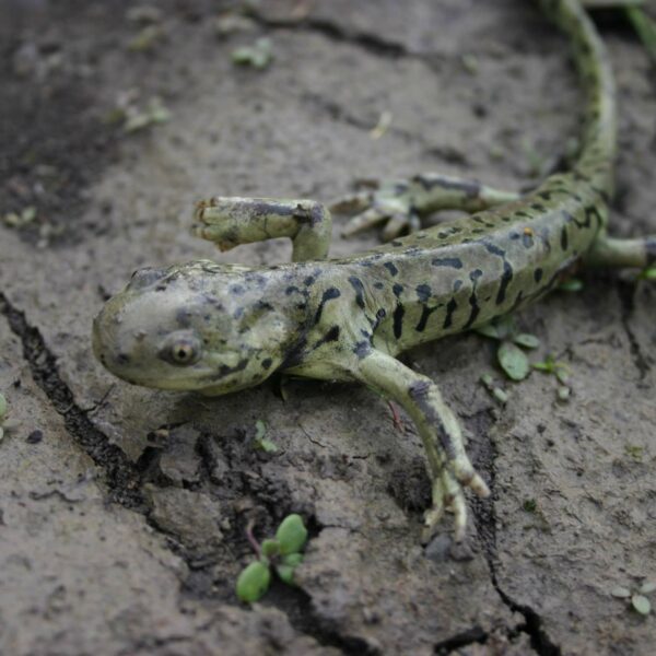
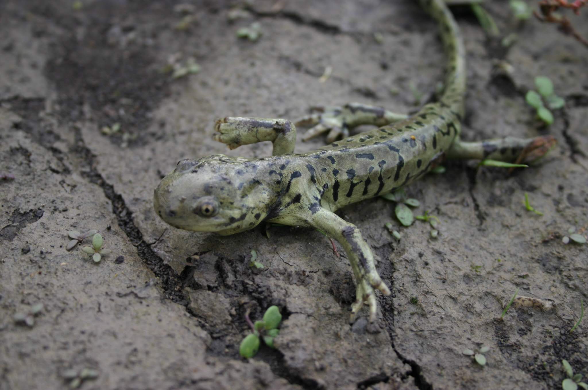
- Tiger Salamander – Vivian Pharis
-
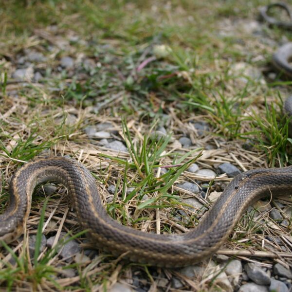
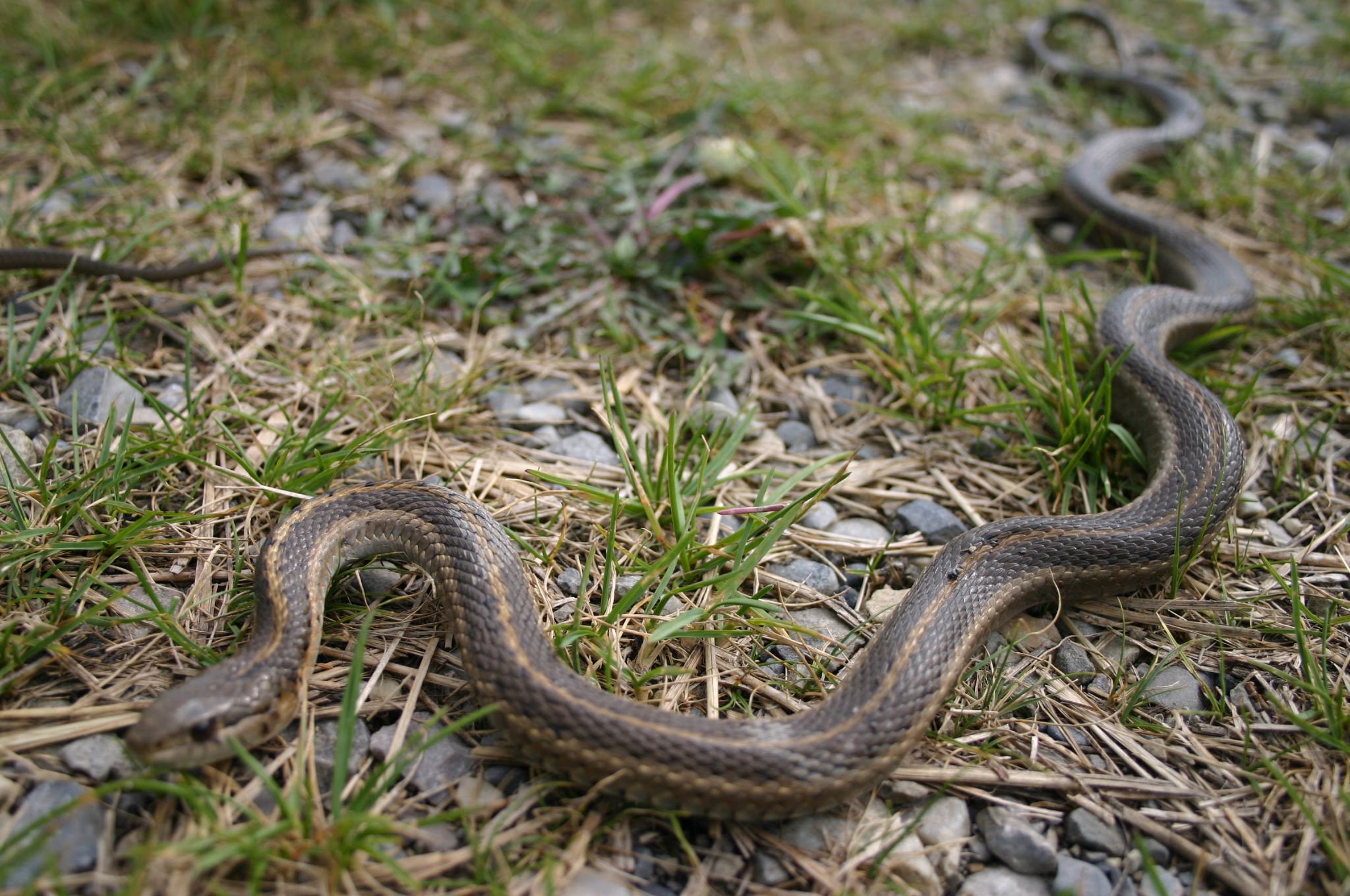
- Garter Snake – Vivian Pharis
-
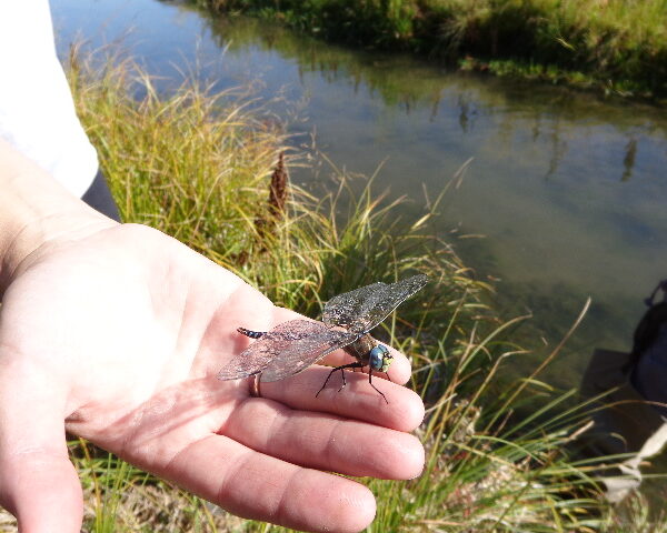
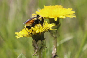
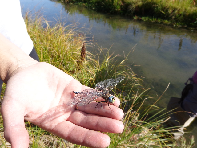
- Dragon Fly – Vivian Pharis
-
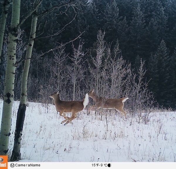
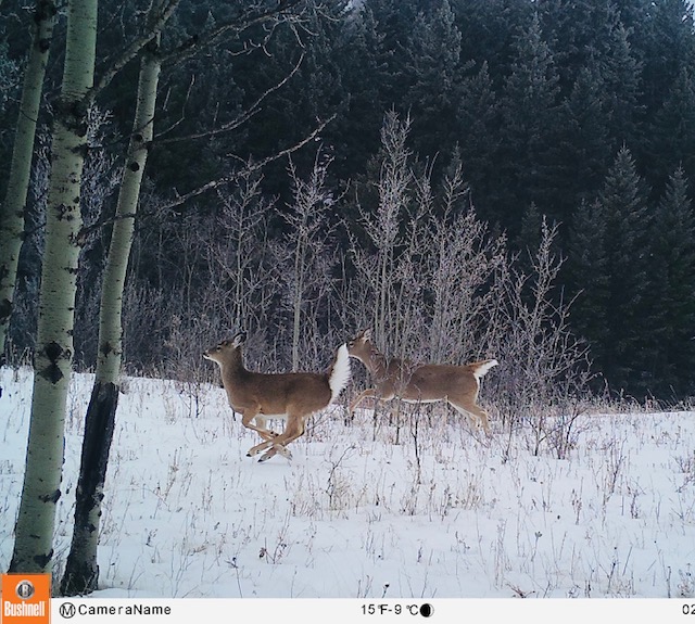
- White Tail Deer – Wildlife Camera
-
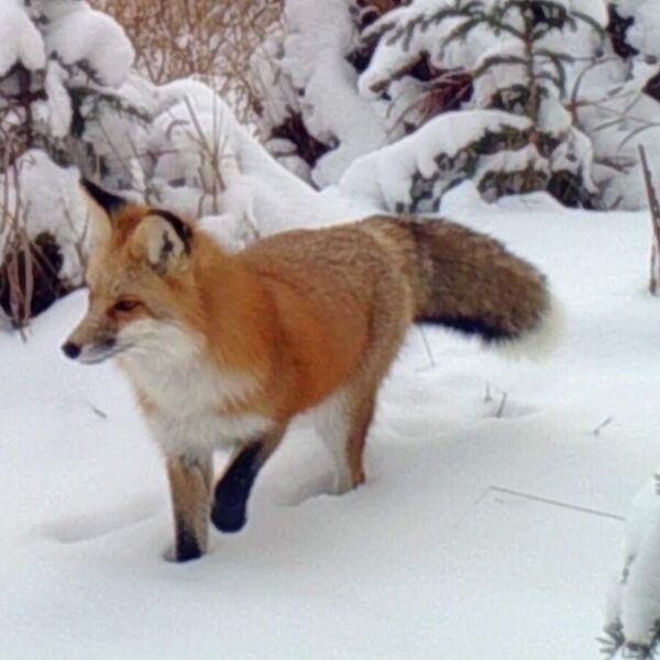
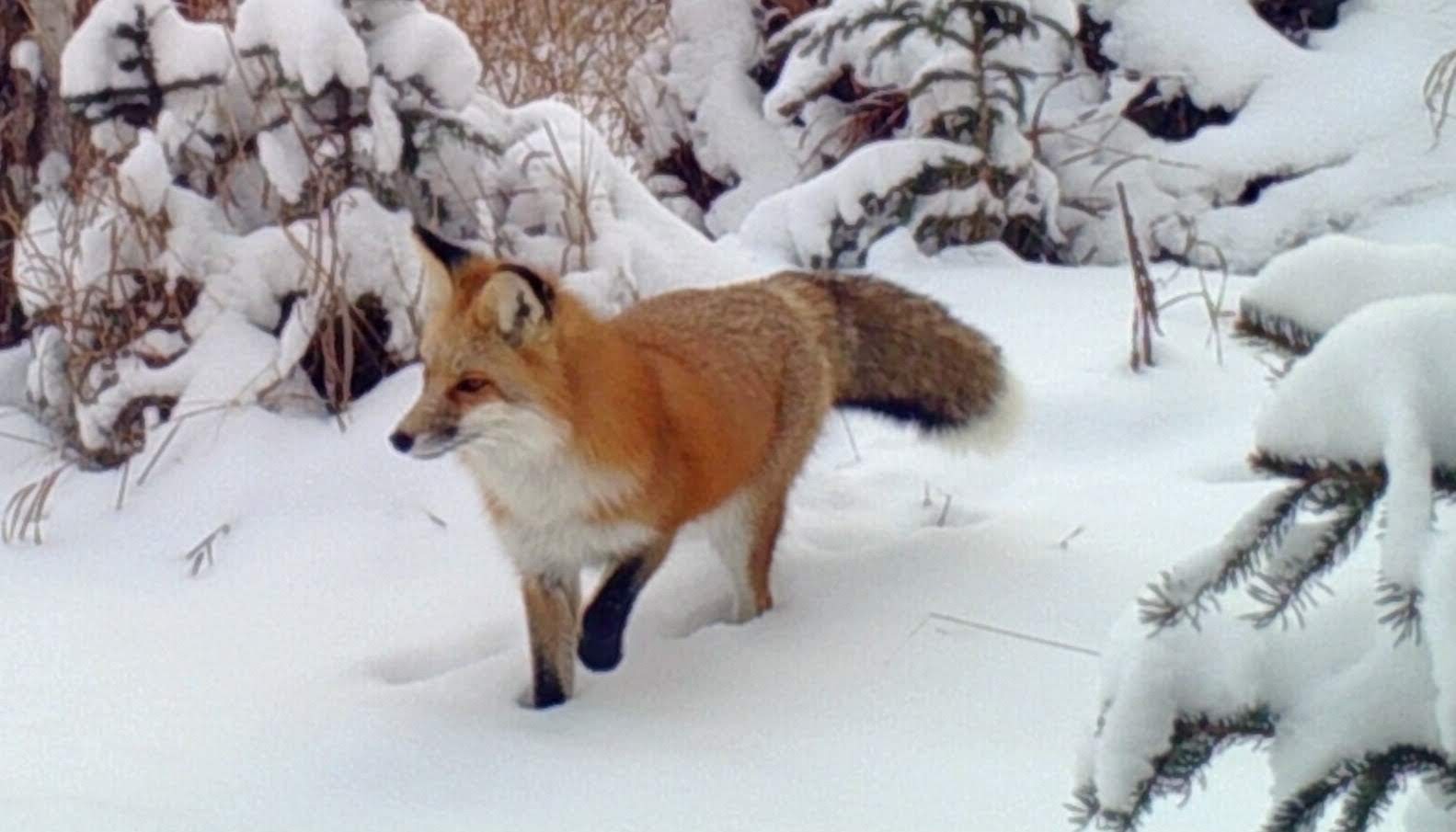
- Red Fox – Wildlife Camera
-
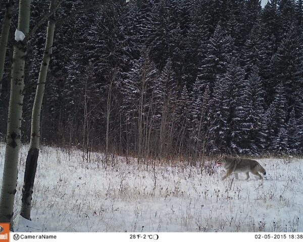
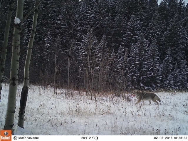
- Coyote – Wildlife Camera
-
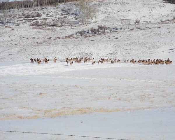
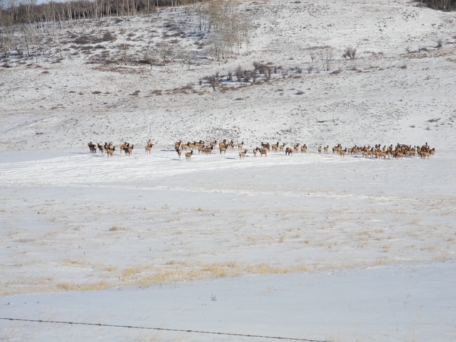
- This elk herd seems resident in Bighill’s watershed and has been seen here in the last 3-4 years. This photo taken by Gerry Bietz, Jan. 20, 2024, just east of Glendale Rd.
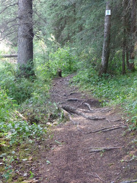
Trail Monitoring and Repair
-
- Built by Bighill Preservation Society with funds provided by COCHRANE FOUNDATION
-
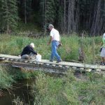
- Original construction of foot bridge in Environmental Reserve
-
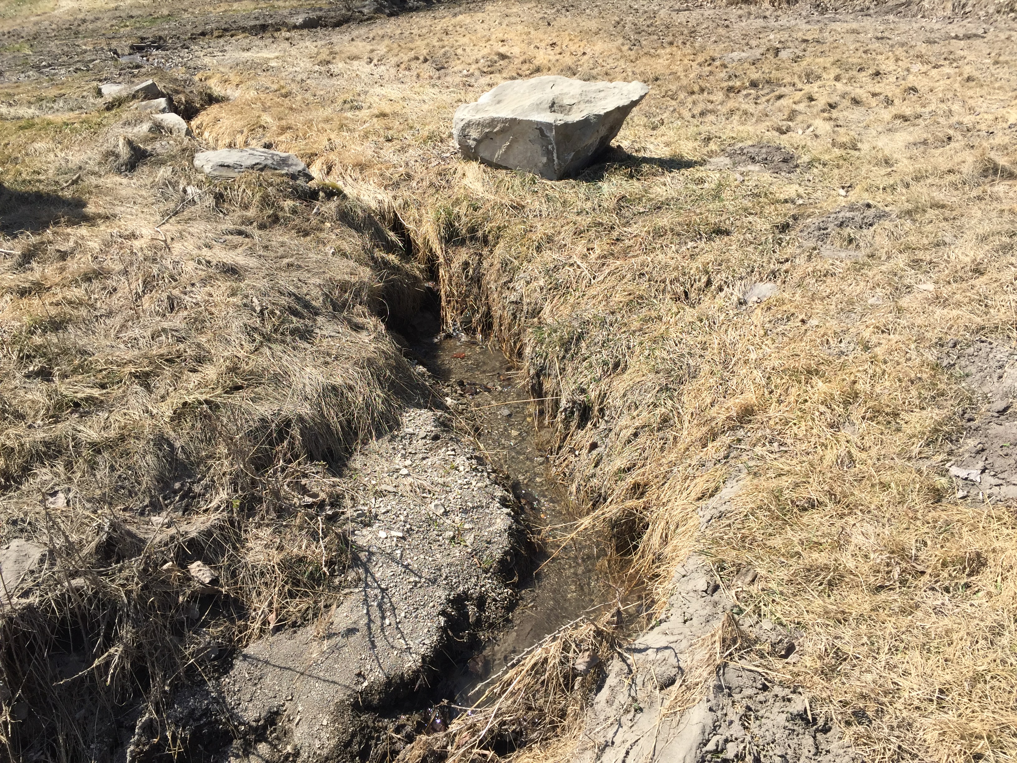
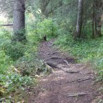
- Eroded section of trail already in need of rehabilitation. The trail has now been rerouted around this portion.
-
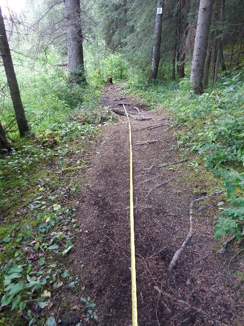
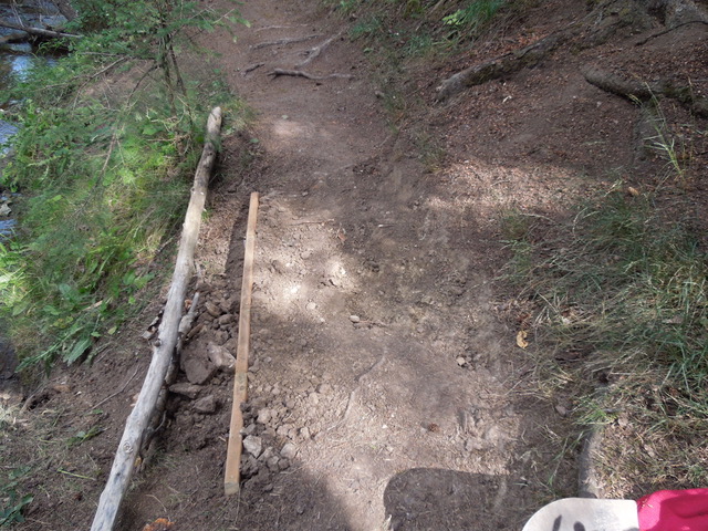
- Seven trail markers will allow monitoring from the same sites each year.
-
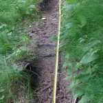
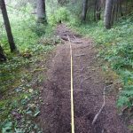
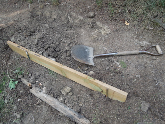
- Seven sections of the loop trail have been selected for annual measurement and for photographic record in order to monitor erosion.
-
- One of the areas of trail that will be monitored and rehabilitated or routed around.
-
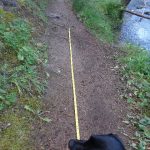
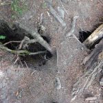
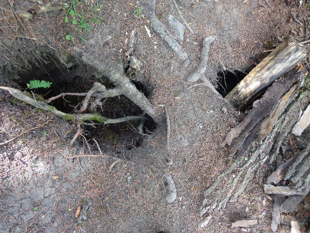
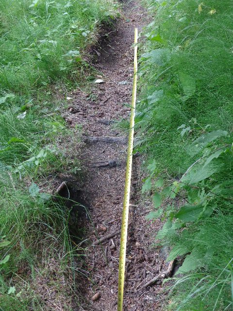
- Some sites are monitored for depth of ruts too, this time by `Gruff` the crime dog.
-
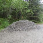
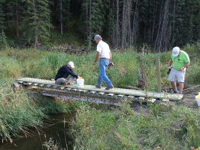
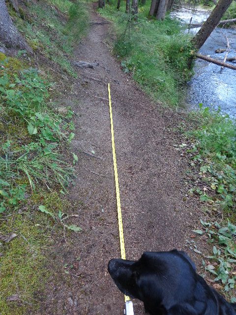
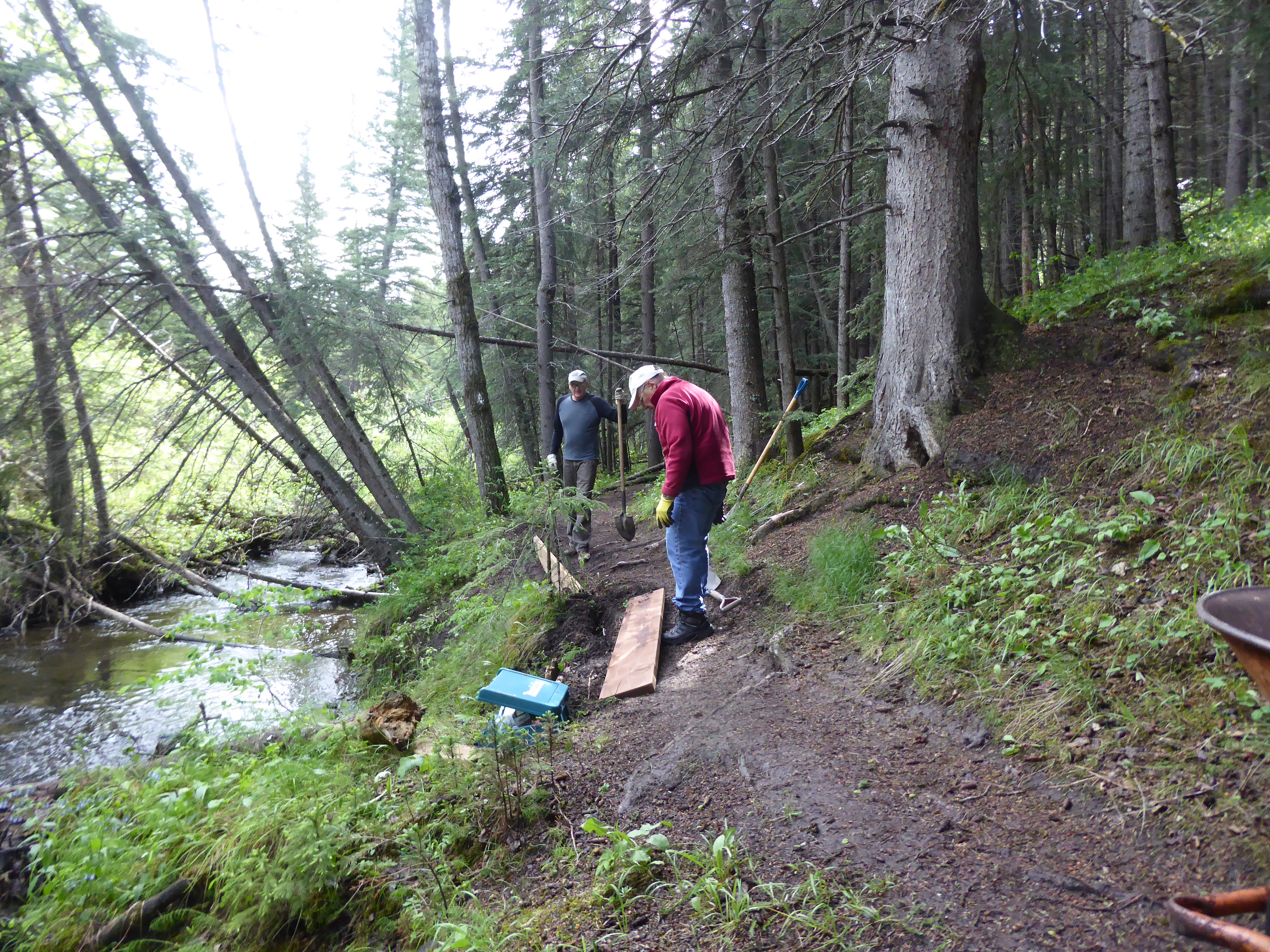
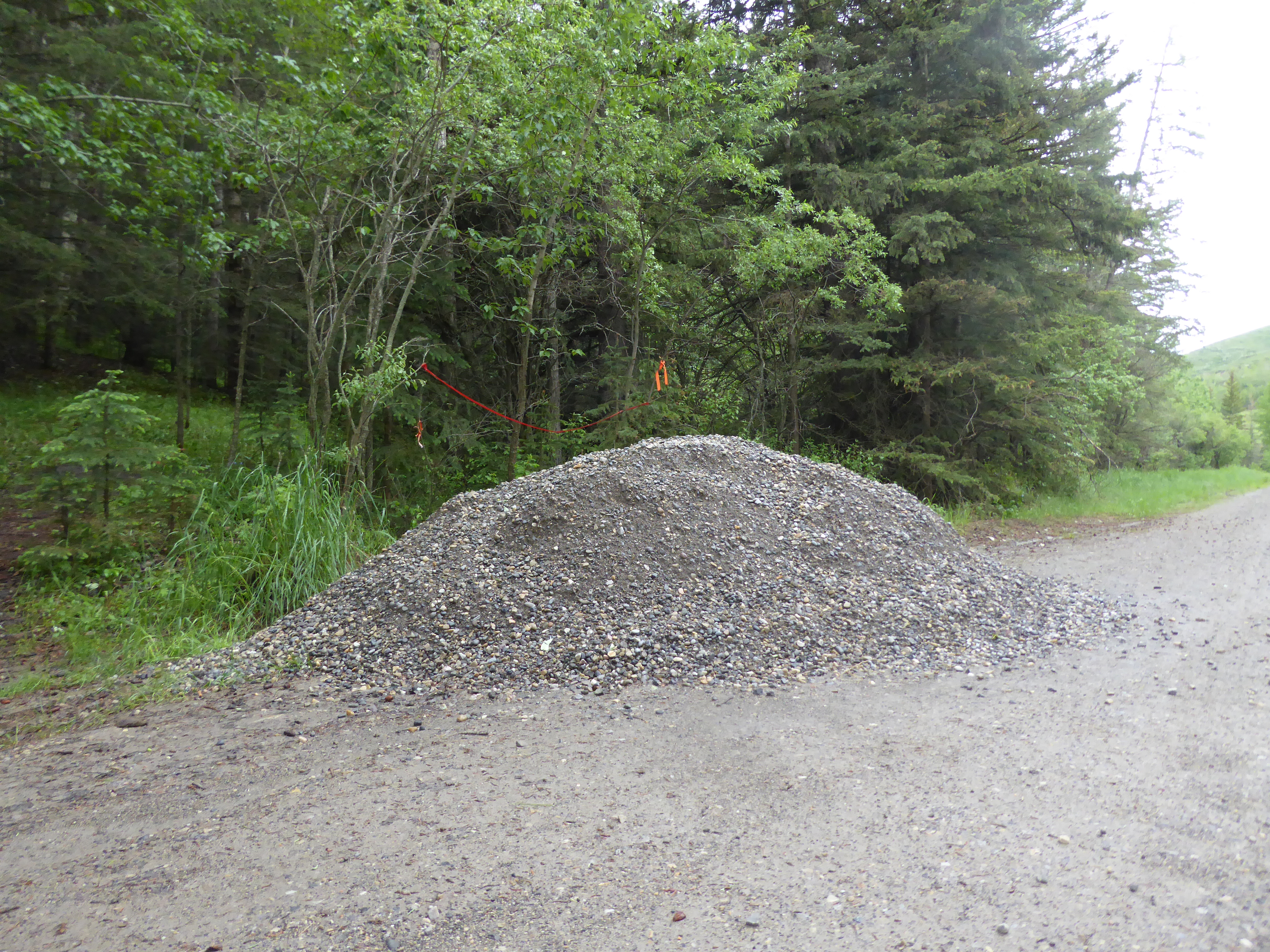
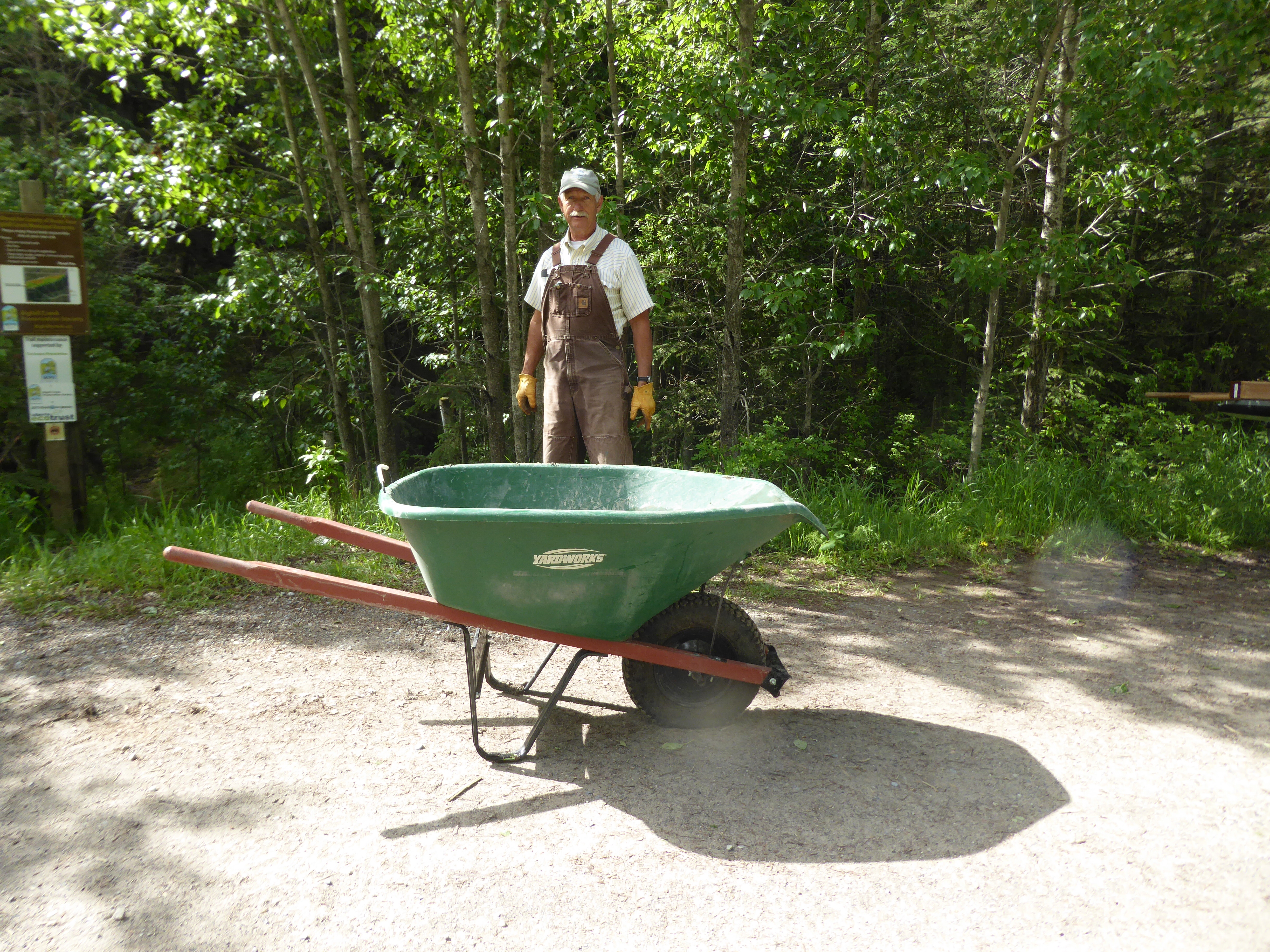
- Upgrading stewardship trail through the Environmental Reserve required gravel hauling with wheelbarrow
-
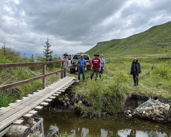
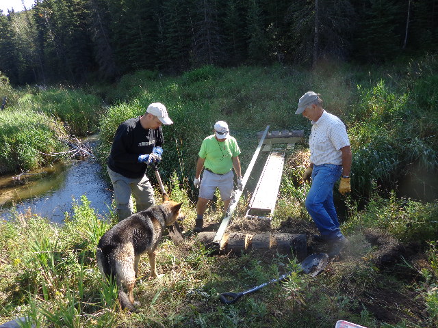
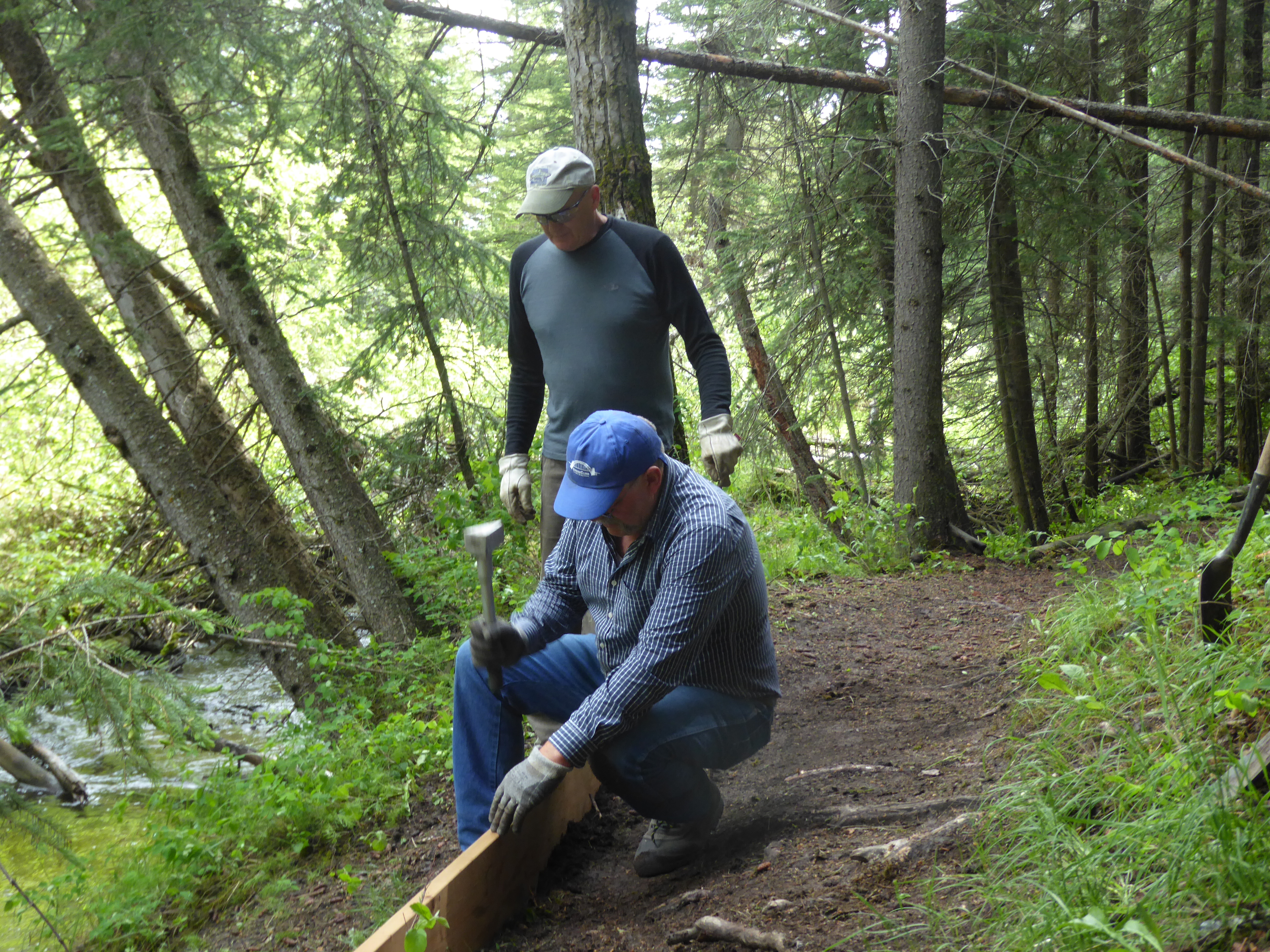
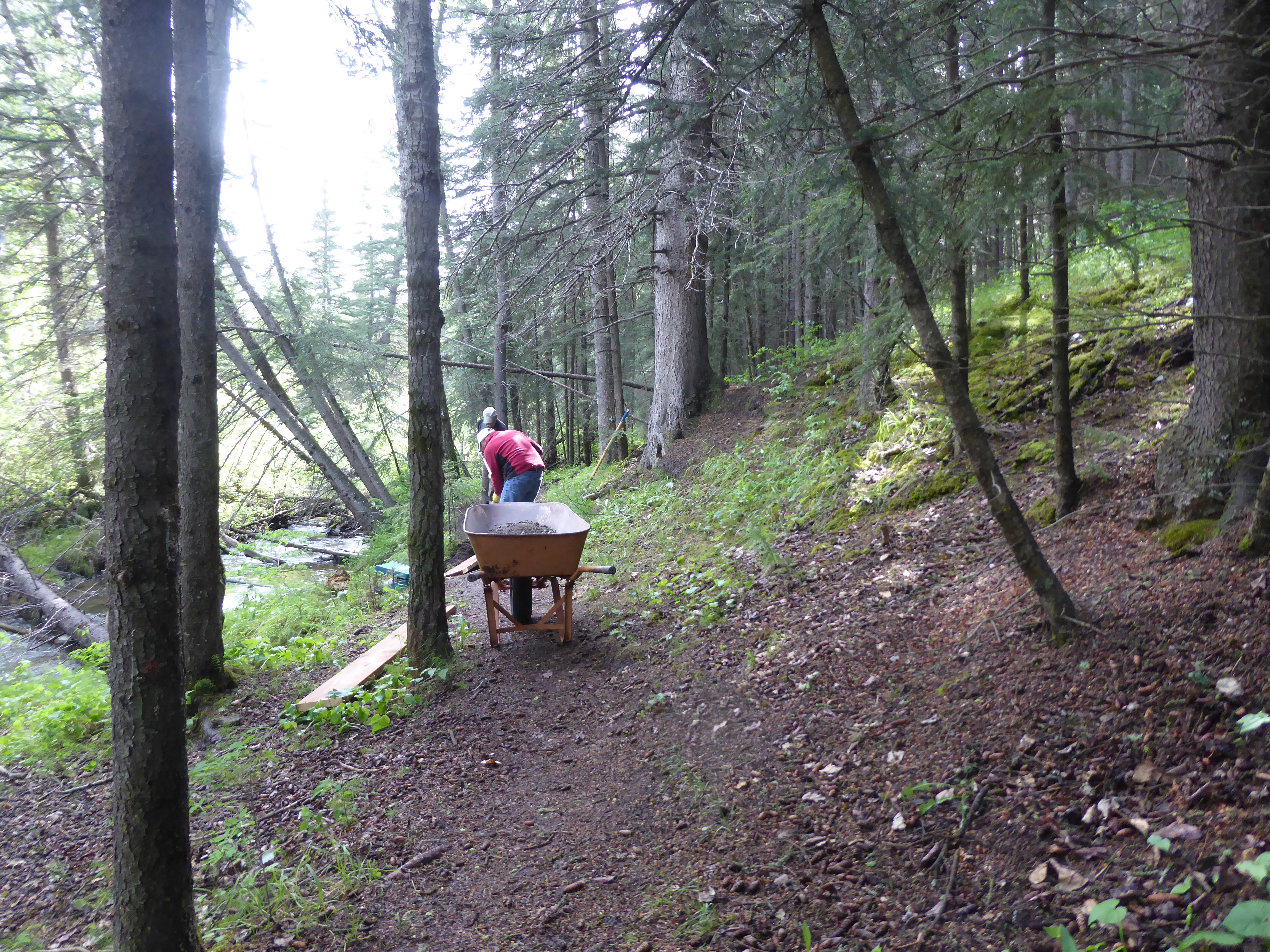
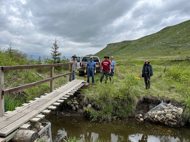
- Bridge repair by volunteers on June 15, 2024
-
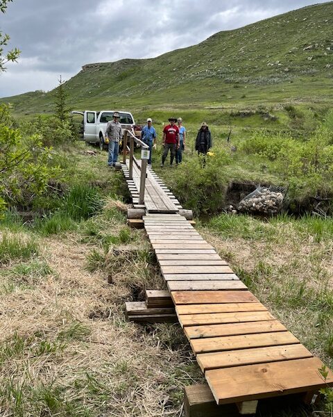
- Bridge repair June 15, 2024
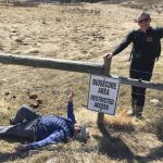
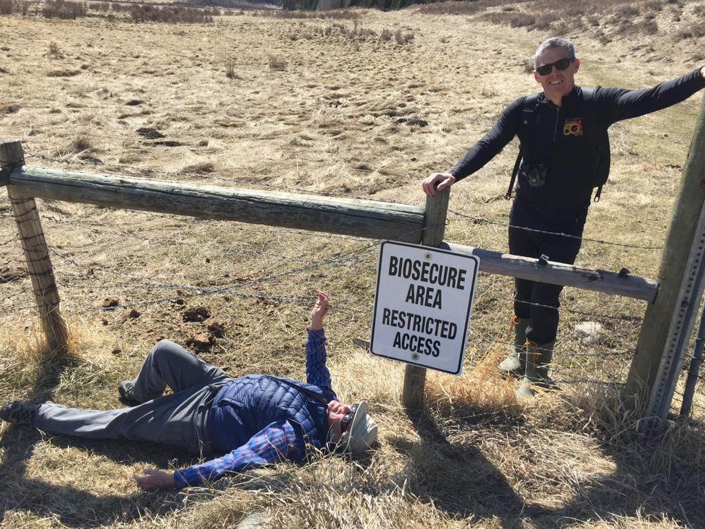
Threats
-
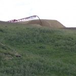
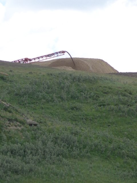
- Gravel mining
-
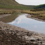
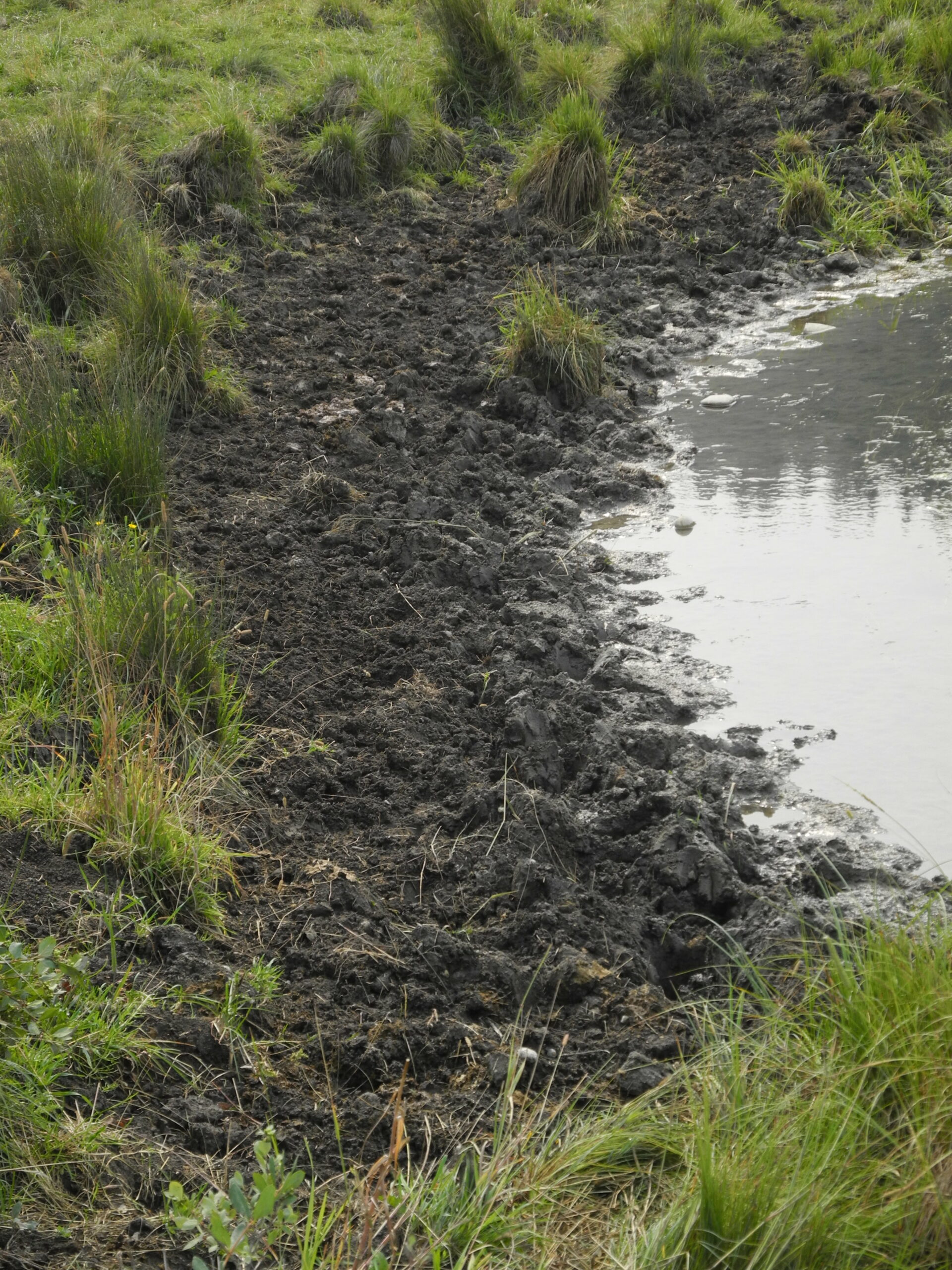
- Cattle damage to riparian area
-
- Cattle damage to riparian area
-
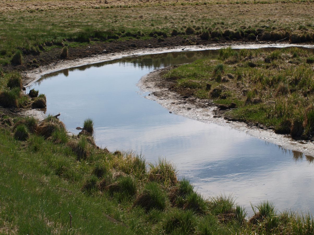
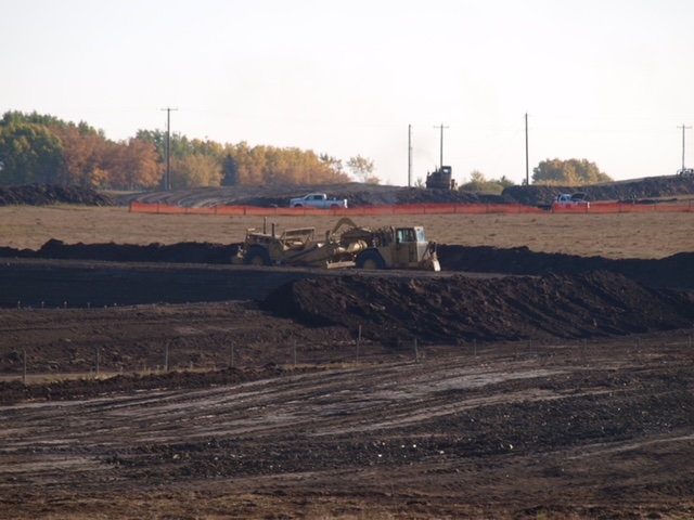
- First day of clearing for Mtn Ash LP Gravel Mining Pit Fall 2023
-
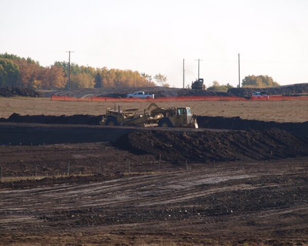
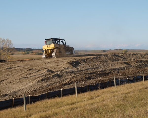
- Fall 2023 Mountain Ash LP Begins Gravel Mining
-
- Preliminary Mtn Ash LP clearing for Gravel Mining Pit Fall 2023
-
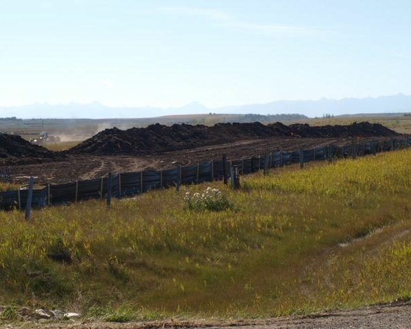
- Topsoil berms in preparation for gravel mining at Mtn Ash LP Fall 2023
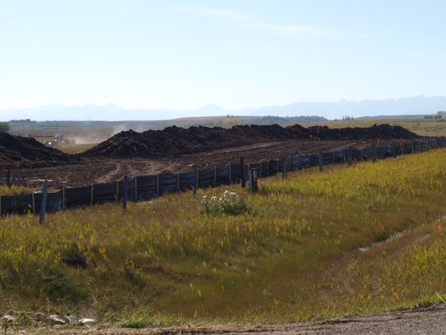
-
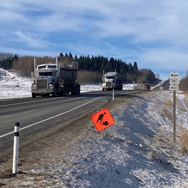
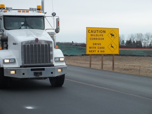
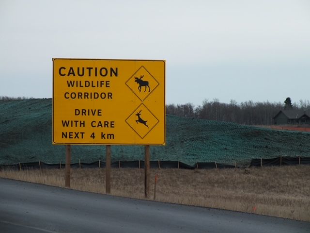
- Increasing gravel truck traffic poses threats to wildlife and other traffic on Highway 567
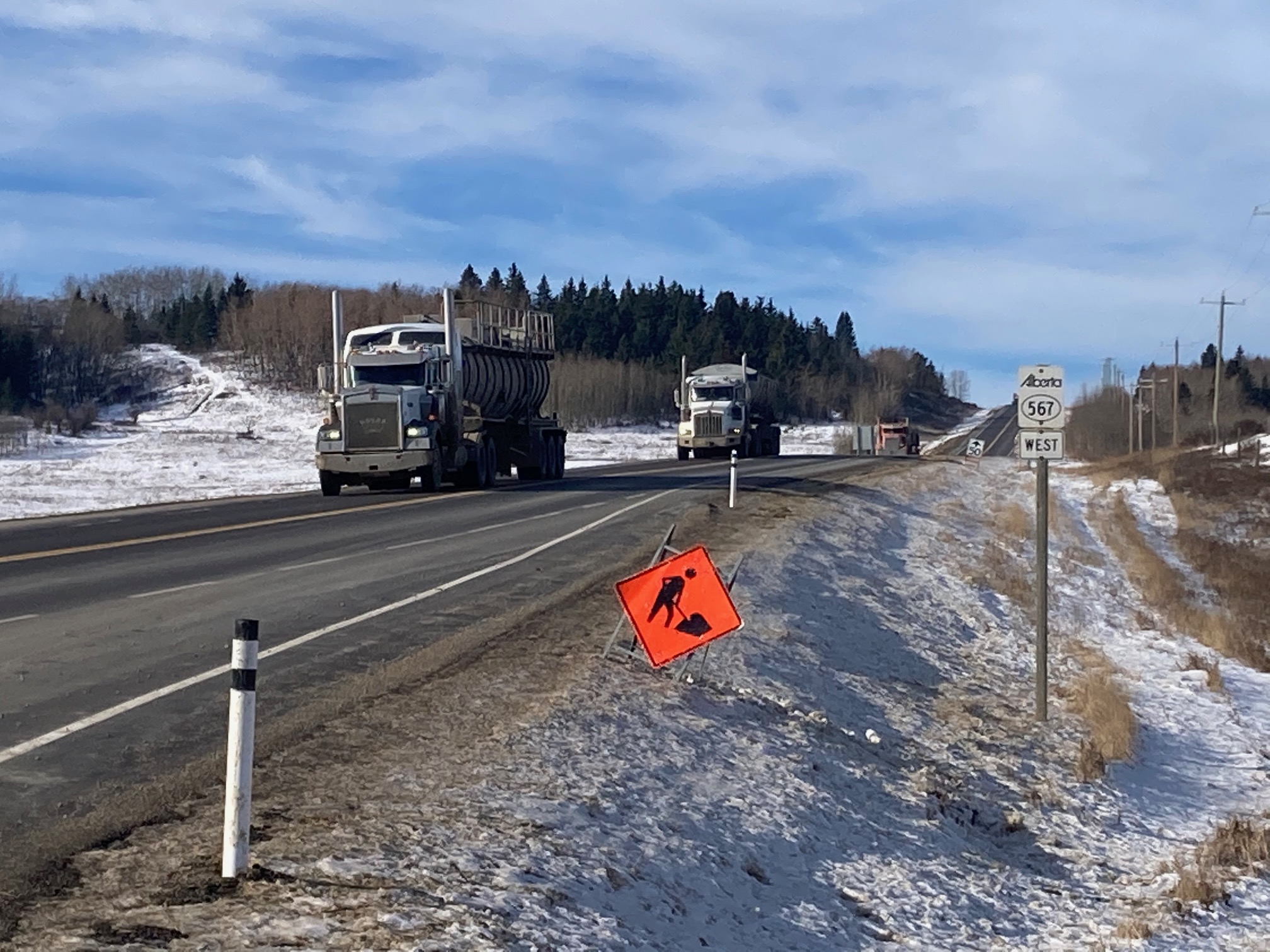
-
- Ironically Alberta Transport placed this sign Fall 2023 on Highway 567 where gravel trucks have become increasingly frequent.
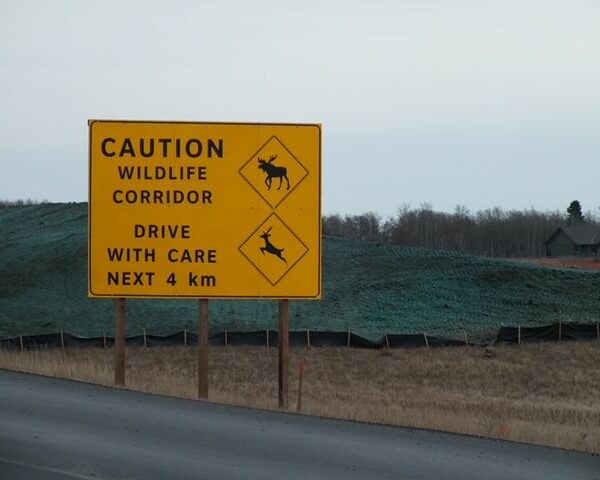
-
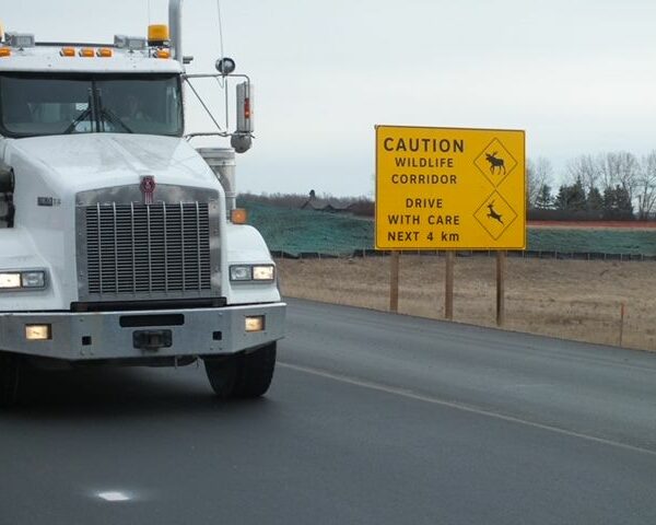
- Large gravel trucks from one mine have take a large toll on Bighill Creek Wildlife. Four more gravel pits could potentially open along the same stretch of highway, further increasing problems for wildlife crossings and human traffic.